Oregon Traffic Conditions
Roseburg
Current Temp: 52.0° F | Humidity: 97% | Wind: 2.5 MPH
Current Conditions: Light rain
Click for Traffic Incidents
-

Road construction is occurring. Prepare to slow. Watch for workers.
Created: 02/25/2025 20:52 US/Pacific
Updated: 02/24/2026 16:10 US/Pacific
Estimated delay under 20 minutes
-
Road construction is occurring causing minimal delay to traffic. Use caution and watch for workers.
Created: 10/31/2025 13:22 US/Pacific
Updated: 02/12/2026 16:22 US/Pacific
No to Minimum Delay
You can expect crews working during the day with lane and shoulder closures as needed. Please drive with caution and watch for workers. <!--Links Start Here--> [Link to Additional Information](https://www.oregon.gov/odot/projects/pages/project-details.aspx?project=22985-cottagegrove)
-
Road construction is occurring causing minimal delay to traffic. Use caution and watch for workers.
Created: 11/07/2025 23:08 US/Pacific
Updated: 01/19/2026 20:09 US/Pacific
No to Minimum Delay
-
Bridge work is occurring. Prepare to slow.
Created: 03/07/2025 18:05 US/Pacific
Updated: 01/04/2026 12:26 US/Pacific
Estimated delay under 20 minutes
Expect daytime single lane closures with an automatic flagger assistant device helping direct traffic east of Oakridge near milepost 43, construction noise and delays up to 20 minutes. Work is currently scheduled to be Monday through Friday. <!--Links Start Here--> [Link to Additional Information](https://www.oregon.gov/odot/projects/pages/project-details.aspx?project=22557)
-

Weather Hazard @ Tiller-Trail Highway - higher elevations -- Impact: High
Start Date: 11/04/2025 10:00 US/Pacific
End Date: 04/01/2026 00:00 US/Pacific
NOTE: Douglas County is NOT providing winter maintenance to this roadway to the north of Jackson County for approximately 6.5 miles. This road may be impassable north of the Jackson County line.This roadway has LIMITED WINTER MAINTENANCE AFTER DARK. This route is NOT ADVISED AS AN ALTERNATE ROUTE when I-5 or other state highways close due to weather such as snow. Motorists should use caution, especially during active winter storms. This is a high elevation, remote mountain road.
Jackson County Roads
James Philp - County Engineer
jcroadsadmin@jacksoncountyor.gov
Jackson County Roads
5417748184
-

Hazard @ Quines Creek Rd / BLM Road 33-5-1.1 -- Impact: Closure
Start Date: 11/24/2022 00:01 US/Pacific
End Date: 12/31/2029 23:59 US/Pacific
Road Closed. Large berm of debris blocking access from both directions of travel.
Douglas County
Larissa May
Larissa.May@douglascountyor.gov
Douglas County
5414646307
-
Weather Hazard @ Burma Rd / King Mountain Rd -- Impact: High
Start Date: 11/09/2025 00:01 US/Pacific
End Date: 05/01/2026 00:01 US/Pacific
This roadway is NOT maintained for winter travel. NOT AN ALTERNATE ROUTE when other roadways close due to weather such as snow. Expect snow or packed ice from November to April. This section of roadway is extremely difficult to navigate during inclement weather. May be difficult to impassable for even high clearance, four-wheel drive vehicles, with the use of chains or traction control devices.
Douglas County
Larissa May
Larissa.May@douglascountyor.gov
Douglas County
5414646307
-
Weather Hazard @ Upper Cow Creek Rd / National Forest Rd 32 -- Impact: High
Start Date: 11/09/2025 00:01 US/Pacific
End Date: 05/01/2026 00:01 US/Pacific
This roadway is NOT maintained for winter travel. NOT AN ALTERNATE ROUTE when other roadways close due to weather such as snow. Expect snow or packed ice from November to April. This section of roadway is extremely difficult to navigate during inclement weather. May be difficult to impassable for even high clearance, four-wheel drive vehicles, with the use of chains or traction control devices.
Douglas County
Larissa May
Larissa.May@douglascountyor.gov
Douglas County
5414646307
-
Weather Hazard @ Snow Creek Rd -- Impact: High
Start Date: 11/09/2025 00:01 US/Pacific
End Date: 05/01/2026 00:01 US/Pacific
This roadway is NOT maintained for winter travel. NOT AN ALTERNATE ROUTE when other roadways close due to weather such as snow. Expect snow or packed ice from November to April. This section of roadway is extremely difficult to navigate during inclement weather. May be difficult to impassable for even high clearance, four-wheel drive vehicles, with the use of chains or traction control devices.
Douglas County
Larissa May
Larissa.May@douglascountyor.gov
Douglas County
5414646307
-
Weather Hazard @ Diamond Rock Rd -- Impact: High
Start Date: 11/09/2025 00:01 US/Pacific
End Date: 05/01/2026 00:01 US/Pacific
This roadway is NOT maintained for winter travel. NOT AN ALTERNATE ROUTE when other roadways close due to weather such as snow. Expect snow or packed ice from November to April. This section of roadway is extremely difficult to navigate during inclement weather. May be difficult to impassable for even high clearance, four-wheel drive vehicles, with the use of chains or traction control devices.
Douglas County
Larissa May
Larissa.May@douglascountyor.gov
Douglas County
5414646307
-
Weather Hazard @ National Forest Road 32 -- Impact: High
Start Date: 11/09/2025 00:01 US/Pacific
End Date: 05/01/2026 00:01 US/Pacific
This roadway is NOT maintained for winter travel. NOT AN ALTERNATE ROUTE when other roadways close due to weather such as snow. Expect snow or packed ice from November to April. This section of roadway is extremely difficult to navigate during inclement weather. May be difficult to impassable for even high clearance, four-wheel drive vehicles, with the use of chains or traction control devices.
Douglas County
Larissa May
Larissa.May@douglascountyor.gov
Douglas County
5414646307
-
Weather Hazard @ West Fork Rd -- Impact: High
Start Date: 11/09/2025 00:01 US/Pacific
End Date: 05/01/2026 00:01 US/Pacific
This roadway is NOT maintained for winter travel. NOT AN ALTERNATE ROUTE when other roadways close due to weather such as snow. Expect snow or packed ice from November to April. This section of roadway is extremely difficult to navigate during inclement weather. May be difficult to impassable for even high clearance, four-wheel drive vehicles, with the use of chains or traction control devices.
Douglas County
Larissa May
Larissa.May@douglascountyor.gov
Douglas County
5414646307
-
Weather Hazard @ Dutch Henry Rd / Ninemile Spring Rd -- Impact: High
Start Date: 11/09/2025 00:01 US/Pacific
End Date: 05/01/2026 00:01 US/Pacific
This roadway is NOT maintained for winter travel. NOT AN ALTERNATE ROUTE when other roadways close due to weather such as snow. Expect snow or packed ice from November to April. This section of roadway is extremely difficult to navigate during inclement weather. May be difficult to impassable for even high clearance, four-wheel drive vehicles, with the use of chains or traction control devices.
Douglas County
Larissa May
Larissa.May@douglascountyor.gov
Douglas County
5414646307
-
Weather Hazard @ Union Creek Rd -- Impact: High
Start Date: 11/09/2025 00:01 US/Pacific
End Date: 05/01/2026 00:01 US/Pacific
This roadway is NOT maintained for winter travel. NOT AN ALTERNATE ROUTE when other roadways close due to weather such as snow. Expect snow or packed ice from November to April. This section of roadway is extremely difficult to navigate during inclement weather. May be difficult to impassable for even high clearance, four-wheel drive vehicles, with the use of chains or traction control devices.
Douglas County
Larissa May
Larissa.May@douglascountyor.gov
Douglas County
5414646307
-
Weather Hazard @ Cavitt Creek Rd / Turtle Creek Rd -- Impact: High
Start Date: 11/09/2025 00:01 US/Pacific
End Date: 05/01/2026 00:01 US/Pacific
This roadway is NOT maintained for winter travel. NOT AN ALTERNATE ROUTE when other roadways close due to weather such as snow. Expect snow or packed ice from November to April. This section of roadway is extremely difficult to navigate during inclement weather. May be difficult to impassable for even high clearance, four-wheel drive vehicles, with the use of chains or traction control devices.
Douglas County
Larissa May
Larissa.May@douglascountyor.gov
Douglas County
5414646307
-
Weather Hazard @ South Myrtle Rd / Deadman Creek Rd -- Impact: High
Start Date: 11/09/2025 00:01 US/Pacific
End Date: 05/01/2026 00:01 US/Pacific
This roadway is NOT maintained for winter travel. NOT AN ALTERNATE ROUTE when other roadways close due to weather such as snow. Expect snow or packed ice from November to April. This section of roadway is extremely difficult to navigate during inclement weather. May be difficult to impassable for even high clearance, four-wheel drive vehicles, with the use of chains or traction control devices.
Douglas County
Larissa May
Larissa.May@douglascountyor.gov
Douglas County
5414646307
-
Weather Hazard @ Jackson Creek Rd -- Impact: High
Start Date: 11/09/2025 00:01 US/Pacific
End Date: 05/01/2026 00:01 US/Pacific
This roadway is NOT maintained for winter travel. NOT AN ALTERNATE ROUTE when other roadways close due to weather such as snow. Expect snow or packed ice from November to April. This section of roadway is extremely difficult to navigate during inclement weather. May be difficult to impassable for even high clearance, four-wheel drive vehicles, with the use of chains or traction control devices.
Douglas County
Larissa May
Larissa.May@douglascountyor.gov
Douglas County
5414646307
-
Weather Hazard @ South Umpqua Rd / French Junction Rd / Copeland Creek Rd -- Impact: High
Start Date: 11/09/2025 00:01 US/Pacific
End Date: 05/01/2026 00:01 US/Pacific
This roadway is NOT maintained for winter travel. NOT AN ALTERNATE ROUTE when other roadways close due to weather such as snow. Expect snow or packed ice from November to April. This section of roadway is extremely difficult to navigate during inclement weather. May be difficult to impassable for even high clearance, four-wheel drive vehicles, with the use of chains or traction control devices.
Douglas County
Larissa May
Larissa.May@douglascountyor.gov
Douglas County
5414646307
-
Weather Hazard @ Little River Rd / National Forest Rd 27 -- Impact: High
Start Date: 11/09/2025 00:01 US/Pacific
End Date: 05/01/2026 00:01 US/Pacific
This roadway is NOT maintained for winter travel. NOT AN ALTERNATE ROUTE when other roadways close due to weather such as snow. Expect snow or packed ice from November to April. This section of roadway is extremely difficult to navigate during inclement weather. May be difficult to impassable for even high clearance, four-wheel drive vehicles, with the use of chains or traction control devices.
Douglas County
Larissa May
Larissa.May@douglascountyor.gov
Douglas County
5414646307
-
Weather Hazard @ Steamboat Creek Rd -- Impact: High
Start Date: 11/09/2025 00:01 US/Pacific
End Date: 05/01/2026 00:01 US/Pacific
This roadway is NOT maintained for winter travel. NOT AN ALTERNATE ROUTE when other roadways close due to weather such as snow. Expect snow or packed ice from November to April. This section of roadway is extremely difficult to navigate during inclement weather. May be difficult to impassable for even high clearance, four-wheel drive vehicles, with the use of chains or traction control devices.
Douglas County
Larissa May
Larissa.May@douglascountyor.gov
Douglas County
5414646307
-
Weather Hazard @ Coos Bay Wagon Rd -- Impact: High
Start Date: 11/09/2025 00:01 US/Pacific
End Date: 05/01/2026 00:01 US/Pacific
This roadway is NOT maintained for winter travel. NOT AN ALTERNATE ROUTE when other roadways close due to weather such as snow. Expect snow or packed ice from November to April. This section of roadway is extremely difficult to navigate during inclement weather. May be difficult to impassable for even high clearance, four-wheel drive vehicles, with the use of chains or traction control devices.
Douglas County
Larissa May
Larissa.May@douglascountyor.gov
Douglas County
5414646307
-
Weather Hazard @ Callahan Creek Rd / National Forest Rd 3230 -- Impact: High
Start Date: 11/09/2025 00:01 US/Pacific
End Date: 05/01/2026 00:01 US/Pacific
This roadway is NOT maintained for winter travel. NOT AN ALTERNATE ROUTE when other roadways close due to weather such as snow. Expect snow or packed ice from November to April. This section of roadway is extremely difficult to navigate during inclement weather. May be difficult to impassable for even high clearance, four-wheel drive vehicles, with the use of chains or traction control devices.
Douglas County
Larissa May
Larissa.May@douglascountyor.gov
Douglas County
5414646307
-
Weather Hazard @ South Myrtle Rd / Deadman Creek Rd -- Impact: High
Start Date: 11/09/2025 00:01 US/Pacific
End Date: 05/01/2026 00:01 US/Pacific
This roadway is NOT maintained for winter travel. NOT AN ALTERNATE ROUTE when other roadways close due to weather such as snow. Expect snow or packed ice from November to April. This section of roadway is extremely difficult to navigate during inclement weather. May be difficult to impassable for even high clearance, four-wheel drive vehicles, with the use of chains or traction control devices.
Douglas County
Larissa May
Larissa.May@douglascountyor.gov
Douglas County
5414646307
-
Weather Hazard @ Cavitt Creek Rd / Turtle Creek Rd -- Impact: High
Start Date: 11/09/2025 00:01 US/Pacific
End Date: 05/01/2026 00:01 US/Pacific
This roadway is NOT maintained for winter travel. NOT AN ALTERNATE ROUTE when other roadways close due to weather such as snow. Expect snow or packed ice from November to April. This section of roadway is extremely difficult to navigate during inclement weather. May be difficult to impassable for even high clearance, four-wheel drive vehicles, with the use of chains or traction control devices.
Douglas County
Larissa May
Larissa.May@douglascountyor.gov
Douglas County
5414646307
-
Weather Hazard @ Union Creek Rd / Twelvemile Creek Rd -- Impact: High
Start Date: 11/09/2025 00:01 US/Pacific
End Date: 05/01/2026 00:01 US/Pacific
This roadway and BLM roads branching off are NOT maintained for winter travel. NOT AN ALTERNATE ROUTE when other roadways close due to weather such as snow. Expect snow or packed ice from November to April. This section of roadway is extremely difficult to navigate during inclement weather. May be difficult to impassable for even high clearance, four-wheel drive vehicles, with the use of chains or traction control devices.
Douglas County
Larissa May
Larissa.May@douglascountyor.gov
Douglas County
5414646307
-
Weather Hazard @ Mt Reuben Rd / Tuller Creek Rd -- Impact: High
Start Date: 11/09/2025 00:01 US/Pacific
End Date: 05/01/2026 00:01 US/Pacific
This roadway is NOT maintained for winter travel. NOT AN ALTERNATE ROUTE when other roadways close due to weather such as snow. Expect snow or packed ice from November to April. This section of roadway is extremely difficult to navigate during inclement weather. May be difficult to impassable for even high clearance, four-wheel drive vehicles, with the use of chains or traction control devices.
Douglas County
Larissa May
Larissa.May@douglascountyor.gov
Douglas County
5414646307
-
Weather Hazard @ Tiller Trail Highway -- Impact: High
Start Date: 11/09/2025 00:01 US/Pacific
End Date: 05/01/2026 00:01 US/Pacific
This roadway is NOT routinely maintained for winter travel. NOT AN ALTERNATE ROUTE when I5 or other roadways close due to weather such as snow. Expect snow or packed ice from November to April. This section of roadway is extremely difficult to navigate during inclement weather. May be difficult to impassable for even high clearance, four-wheel drive vehicles, with the use of chains or traction control devices.
Douglas County
Larissa May
Larissa.May@douglascountyor.gov
Douglas County
5414646307
-
Construction @ Shoreview Dr, M.P. 0.20 to M.P. 6.50 -- Impact: Low
Start Date: 01/27/2026 15:01 US/Pacific
End Date: 06/30/2026 23:59 US/Pacific
Starting January 28, 2026, Lane County will be installing signs and guardrails on Shoreview Dr from M.P. 0.20 to M.P. 6.50. Traffic will be controlled by flaggers, Monday through Friday from 7am to 7pm. Please obey the temporary traffic control signs, use caution and slow down through work zones to improve safety and efficiency. Construction work is expected to be completed by June 30, 2026.
Lane County Government
Derek Jensen
ecs-construction@lanecountyor.gov
Lane County Public Works Engineering & Construction Services
5416826929
-
Construction @ Row River Rd, M.P. 2.71 to M.P. 19.10 -- Impact: Low
Start Date: 01/27/2026 15:06 US/Pacific
End Date: 06/30/2026 23:59 US/Pacific
Starting January 28, 2026, Lane County will be installing signs and guardrails on Row River Rd from M.P. 2.71 to M.P. 19.10. Traffic will be controlled by flaggers, Monday through Friday from 7am to 7pm. Please obey the temporary traffic control signs, use caution and slow down through work zones to improve safety and efficiency. Construction work is expected to be completed by June 30, 2026.
Lane County Government
Derek Jensen
ecs-construction@lanecountyor.gov
Lane County Public Works Engineering & Construction Services
5416826929
Click for Local Police/Fire Scanner Broadcasts
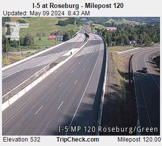
I-5 at Roseburg - Milepost 120 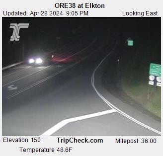
ORE38 at Elkton 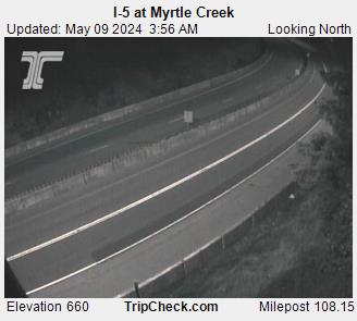
I-5 at Myrtle Creek 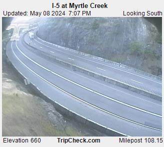
I-5 at Myrtle Creek 
I-5 at Sutherlin 
I-5 at Sutherlin 
I-5 at Exit 162 
I-5 at Exit 162 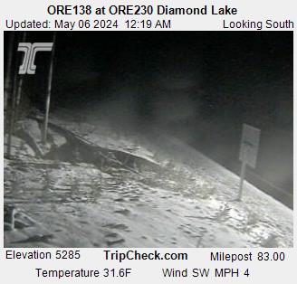
OR138 at OR230 Diamond Lake 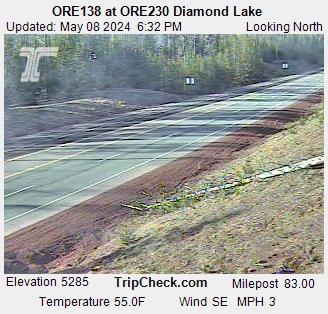
OR138 at OR230 Diamond Lake 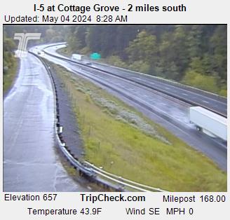
I-5 at Cottage Grove - 2 miles south 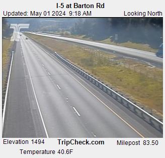
I-5 at Barton Rd 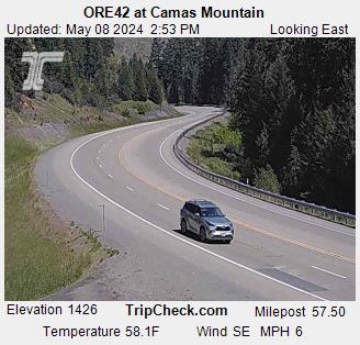
OR42 at Camas Mountain 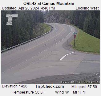
OR42 at Camas Mountain 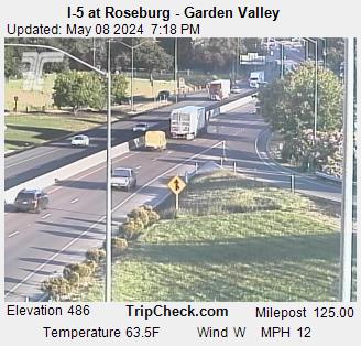
I-5 at Roseburg - Garden Valley 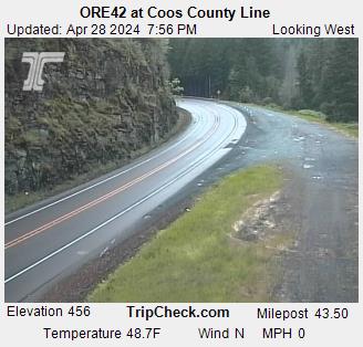
OR42 at Coos County Line 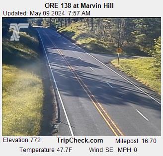
OR138 at Marvin Hill 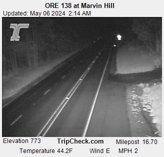
OR 138 at Marvin Hill 
I-5 at Cottage Grove - 2 miles south 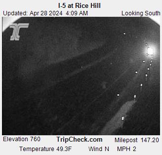
I-5 at Rice Hill 
I-5 at Canyon Mt 
I-5 at Rice Hill 
I-5 at Canyon Mt 
OR62 at Union Creek 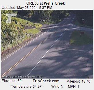
ORE38 at Wells Creek 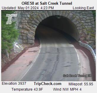
OR58 at Salt Creek Tunnel 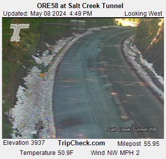
OR58 at Salt Creek Tunnel 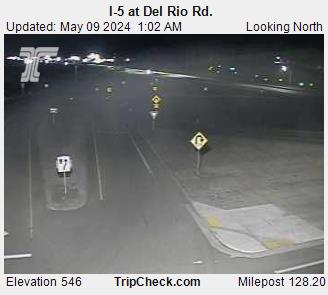
I-5 at Del Rio Rd. 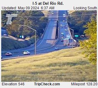
I-5 at Del Rio Rd. 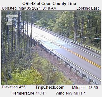
OR42 at Coos County Line 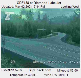
OR138 at Diamond Lake Jct 
I-5 at Roberts Mountain 
I-5 at Roberts Mountain 
I-5 at Martin Creek 
I-5 at Roberts Mountain 
I-5 at Roberts Mountain 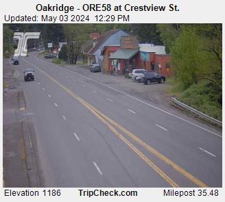
Oakridge - OR58 at Crestview St. 
I-5 at Roseburg - Exit 124 
I-5 at Roseburg - Garden Valley 
OR38 at Scottsburg 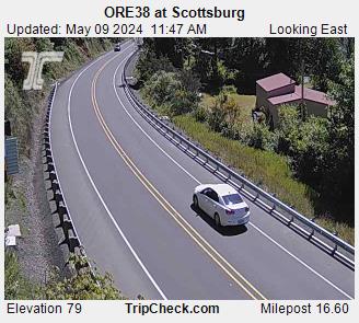
OR38 at Scottsburg 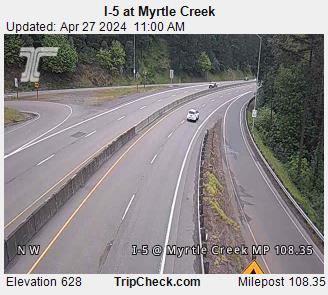
I-5 at Myrtle Creek 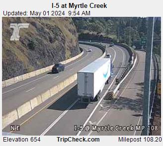
I-5 at Myrtle Creek 
I-5 at Stage Road Pass 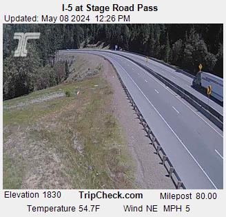
I-5 at Stage Road Pass 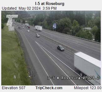
I-5 at Roseburg 
I-5 at Chadwick Ln 
I-5 at Grant Smith Rd
Klamath Falls
Current Temp: 41.5° F | Humidity: 93% | Wind: 6.0 MPH
Current Conditions: Overcast
Click for Traffic Incidents
-
Weather Hazard @ Dead Indian Memorial Road, please use caution during winter snow events -- Impact: High
Start Date: 11/04/2025 10:00 US/Pacific
End Date: 04/15/2026 08:00 US/Pacific
This is NOT a highway bypass route when Interstate 5, Highway 140 or Highway 66 are closed.This roadway has LIMITED WINTER MAINTENANCE AFTER DARK. This route is NOT ADVISED AS AN ALTERNATE ROUTE when other state highways close due to weather such as snow. This route is length restricted to 60' for semi-trucks. Motorists should use caution, especially during active winter storms producing snow and ice. This is a high-elevation, narrow, curvy, remote canyon road with limited cell service. Traction control tires or devices are recommended.
Jackson County Roads
James Philp - County Engineer
jcroadsadmin@jacksoncountyor.gov
Jackson County Roads
5417748184
-
Weather Hazard @ Dead Indian Memorial Road, please use caution during winter snow events. -- Impact: High
Start Date: 12/16/2025 14:52 US/Pacific
End Date: 03/20/2026 17:00 US/Pacific
This roadway has LIMITED WINTER MAINTENANCE AFTER DARK. This route is NOT ADVISED AS AN ALTERNATE ROUTE when other state highways close due to weather such as snow. This route is length restricted to 60' for semi-trucks. Motorists should use caution, especially during active winter storms producing snow and ice. This is a high-elevation, narrow, curvy, remote canyon road with limited cell service. Traction control tires or devices are recommended.
Klamath County Public Works
Jeremy Morris
jmorris@klamathcounty.org
Klamath County Public Works
5418834696
Click for Local Police/Fire Scanner Broadcasts
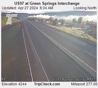
US97 at Green Springs Interchange 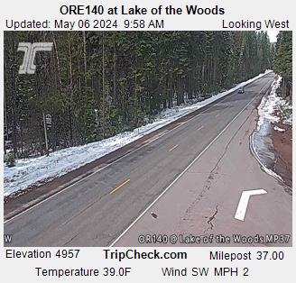
OR140 at Lake of the Woods 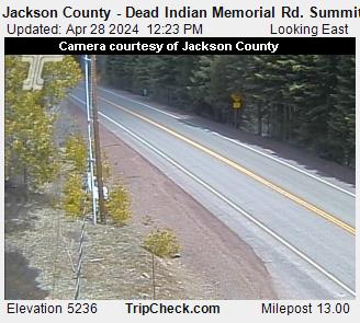
Jackson County - Dead Indian Memorial Rd. Summit 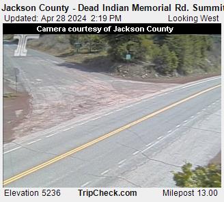
Jackson County - Dead Indian Memorial Rd. Summit 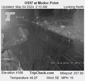
US97 at Modoc Point 
OR140 at Doak Mountain 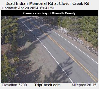
Dead Indian Memorial Rd at Clover Creek Rd 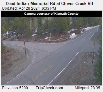
Dead Indian Memorial Rd at Clover Creek Rd 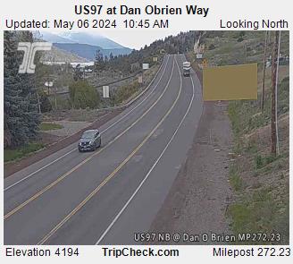
US97 at Dan Obrien Way 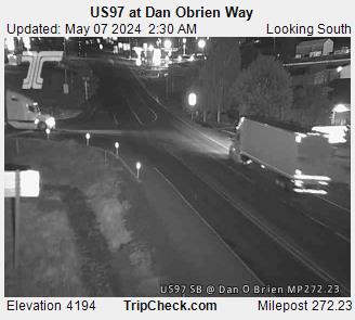
US97 at Dan Obrien Way 
OR66 Green Springs Hwy at OR140
Ashland / Siskiyou
Current Temp: 52.0° F | Humidity: 93% | Wind: 2.2 MPH
Current Conditions: Light rain
Click for Traffic Incidents
-
Weather Hazard @ Colestin Road - Mt. Ashland Ski Road to California Border -- Impact: High
Start Date: 11/04/2025 10:00 US/Pacific
End Date: 04/01/2026 08:00 US/Pacific
DO NOT USE THIS ROUTE AS AN I-5 BYPASS - NARROW STEEP WINDING ROADWAY WITH LIMITED CELL SERVICE.This route is STRONGLY NOT ADVISED during winter storms and is NOT A BYPASS when Interstate 5 is closed due to weather impacts. Road is a steep, winding, narrow, gravel road with limited turnaround areas and limited cell phone coverage. CHAINS ARE REQUIRED during inclement weather.Additionally, there is LIMITED WINTER MAINTENANCE AFTER DARK on this roadway. Motorists should use caution during active storms as conditions can change rapidly.
Jackson County Roads
James Philp - County Engineer
jcroadsadmin@jacksoncountyor.gov
Jackson County Roads
5417748184
-
Weather Hazard @ Dead Indian Memorial Road, please use caution during winter snow events -- Impact: High
Start Date: 11/04/2025 10:00 US/Pacific
End Date: 04/15/2026 09:20 US/Pacific
This is NOT a highway bypass route when Interstate 5, Highway 140 or Highway 66 are closed.This roadway has LIMITED WINTER MAINTENANCE AFTER DARK. This route is NOT ADVISED AS AN ALTERNATE ROUTE when other state highways close due to weather such as snow. This route is length restricted to 60' for semi-trucks. Motorists should use caution, especially during active winter storms producing snow and ice. This is a high-elevation, narrow, curvy, remote canyon road with limited cell service. Traction control tires or devices are recommended.
Jackson County Roads
James Philp
jcroadsadmin@jacksoncounty.org
Jackson County Roads
5417748184
Click for Local Police/Fire Scanner Broadcasts
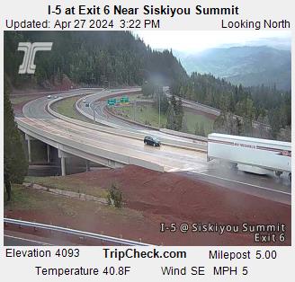
I-5 at Exit 6 Near Siskiyou Summit 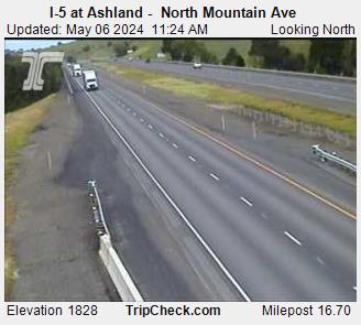
I-5 at Ashland - North Mountain Ave 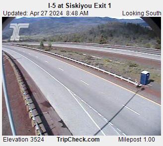
I-5 at Siskiyou Exit 1 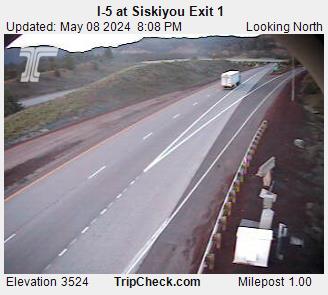
I-5 at Siskiyou Exit 1 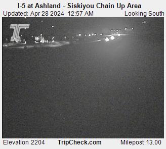
I-5 at Ashland - Siskiyou Chain Up Area _pid3375.JPG)
I-5 at N. Phoenix Rd. (Fern Valley) 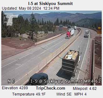
I-5 at Siskiyou Summit 
I-5 at Siskiyou 
I-5 at Siskiyou 
I-5 at Siskiyou 
I-5 at Siskiyou 
I-5 at Siskiyou 
I-5 at Crowson Rd - Siskiyou Chain Up Area
Medford / Central Point
Current Temp: 52.0° F | Humidity: 93% | Wind: 2.2 MPH
Current Conditions: Light rain
Click for Traffic Incidents
-
Road construction is occurring. Prepare to slow. Watch for workers.
Created: 05/24/2023 23:24 US/Pacific
Updated: 02/24/2026 16:07 US/Pacific
Estimated delay under 20 minutes
Rose Street at OR 99 will be closed for approximately 30 days, beginning July 28, 2025. Use the detour and watch for workers in the road. Expect intermittent lane closures through the work zone on OR 99, Monday through Friday.
-
Road construction is occurring. Prepare to slow. Watch for workers.
Created: 07/20/2024 14:22 US/Pacific
Updated: 02/24/2026 16:07 US/Pacific
Estimated delay under 20 minutes
Watch for intermittent lane closures through the work zone, Sunday night – Friday morning and possible shoulder/turning lane closures during the day. OR-99 (MP 4.36-5.71), OR-238 (MP 37.63-38.75), Hwy 62 (MP 0.91). <!--Links Start Here--> [Link to Additional Information](https://www.oregon.gov/odot/projects/pages/project-details.aspx?project=21676)
Click for Local Police/Fire Scanner Broadcasts
ORE238 at Jacksonville Hill 
ORE238 at Jacksonville Hill 
I-5 at Medford - Barnett Rd. 
I-5 at Medford - 12th St. 
I-5 at Phoenix 
I-5 at Phoenix 
I-5 at East Pine 
I-5 at Table Rock -
I-5 at N. Phoenix Rd. (Fern Valley) 
I-5 at Garfield 
I-5 at North Medford Interchange 
I-5 at Medford Viaduct 
OR62 at Poplar 
OR62 at Delta Waters _pid4445.jpg)
OR62 at OR140 (Leigh Way) 
OR62 at Linn Rd Eagle Point 
OR62 at Linn Rd Eagle Point 
OR62 at Rogue Valley Mall Ent 
OR62 at Commerce Dr 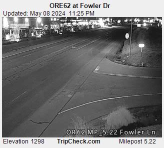
OR62 at Fowler Dr 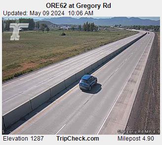
OR62 at Gregory Rd 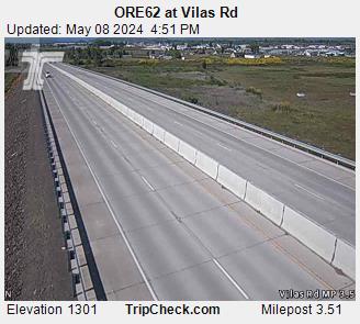
OR62 at Vilas Rd 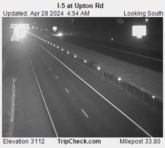
I-5 at Upton Rd
Eugene
Current Temp: 46.9° F | Humidity: 97% | Wind: 2.2 MPH
Current Conditions: Light rain
Click for Traffic Incidents
-
Road construction is occurring. Prepare to slow. Watch for workers.
Created: 10/31/2025 13:28 US/Pacific
Updated: 02/12/2026 16:22 US/Pacific
Estimated delay under 20 minutes
You can expect crews working during the day with lane and shoulder closures as needed. Please drive with caution and watch for workers. <!--Links Start Here--> [Link to Additional Information](https://www.oregon.gov/odot/projects/pages/project-details.aspx?project=22985-springfield)
-
Bridge work has closed the road. Use alternate routes. Ramps Affected.
Created: 02/18/2026 05:28 US/Pacific
Updated: 02/18/2026 05:36 US/Pacific
Closure
Due to bridge repair work on the OR132 Bridge over OR569, the off ramp from OR132 on to OR569 will be closed.
-
Bridge work is occurring. Prepare to slow.
Created: 01/07/2026 06:48 US/Pacific
Updated: 02/12/2026 16:37 US/Pacific
Estimated delay under 20 minutes
Expect crews working during the day with lane and shoulder closures and flaggers directing traffic as needed. Please use caution and watch for workers. <!--Links Start Here--> [Link to Additional Information](https://www.oregon.gov/odot/projects/pages/project-details.aspx?project=21762)
-
Construction @ Chambers St. Seismic Bridge Retrofits -- Impact: Moderate
Start Date: 10/14/2025 10:45 US/Pacific
End Date: 03/09/2026 07:55 US/Pacific
City of Eugene
Jordan Vesper
jvesper@eugene-or.gov
City of Eugene
5412460019
-
Construction @ Columbia Street at East 17th Ave -- Impact: Closure
Start Date: 10/17/2025 12:00 US/Pacific
End Date: 03/09/2026 07:55 US/Pacific
· Construction of stormwater, wastewater and electrical utilities will close East 17th Ave and Columbia St. · Detours for traffic are set at Agate St and Moss St to East 19th Ave.· Pedestrian access on East 17th Ave is open on the north side of the road. Pedestrian access to Columbia St mid-block is closed both sides of the street.· Bikes are encouraged to use Agate St to the west and Moss St to the east.· Please be aware of large trucks and equipment in the area while construction is ongoing.
City of Eugene
Josh Pinkham
JPinkham@eugene-or.gov
City of Eugene
5415010374
-
Construction @ East 24th Avenue, Hilyard Street & Alder Street Paving -- Impact: None
Start Date: 10/24/2025 15:00 US/Pacific
End Date: 03/09/2026 07:55 US/Pacific
City of Eugene
Bryan Root
BRoot@eugene-or.gov
City of Eugene
5416825300
-
Construction @ Grant St, Hayes St, Pierce St, and W 22nd Ave Paving -- Impact: Low
Start Date: 10/24/2025 15:00 US/Pacific
End Date: 03/02/2026 07:55 US/Pacific
City of Eugene
Samuel Casto
scasto@eugene-or.gov
City of Eugene
5417350996
-
Construction @ Westleigh St and Plumtree Dr Paving and Bailey Hill Lighting -- Impact: Low
Start Date: 11/10/2025 08:00 US/Pacific
End Date: 03/09/2026 07:55 US/Pacific
City of Eugene
Samuel Casto
scasto@eugene-or.gov
City of Eugene
5417350996
-
Construction @ W 30th Avenue and Portland Street -- Impact: Moderate
Start Date: 11/21/2025 15:00 US/Pacific
End Date: 03/09/2026 07:55 US/Pacific
City of Eugene
Donna Stark
DStark@eugene-or.gov
City of Eugene
5417294638
-
Construction @ W 5th Avenue and Adams Street- Whiteaker Commons Construction -- Impact: Closure
Start Date: 12/05/2025 15:00 US/Pacific
End Date: 03/09/2026 07:55 US/Pacific
City of Eugene
Donna Stark
DStark@eugene-or.gov
City of Eugene
5417294638
-
Construction @ east bound LTD Bus stop mid-block between Adams St. and Monroe St. is closed -- Impact: Closure
Start Date: 12/05/2025 15:00 US/Pacific
End Date: 03/09/2026 07:55 US/Pacific
City of Eugene
Donna Stark
DStark@eugene-or.gov
City of Eugene
5417294638
-
Construction @ West Eugene Pedestrian Improvements— new lighting and a walking path -- Impact: None
Start Date: 12/05/2025 15:00 US/Pacific
End Date: 03/09/2026 07:55 US/Pacific
City of Eugene
Samuel Casto
scasto@eugene-or.gov
City of Eugene
5417350996
Click for Local Police/Fire Scanner Broadcasts
I-5 Near Goshen 
I-5 at Near ORE 225 McVay Hwy 
ORE569 Beltline Near NW Expressway 
I-5 at I-105 
OR569 Beltline at Delta Hwy 
OR569 Beltline at Coburg Rd. 
OR132 Delta Hwy Near Woodfield 
OR132 Delta Hwy Near Valley River 
ORE569 Beltline at River Rd. 
I-5 at OR569 Beltline 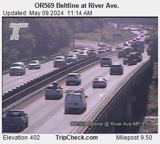
OR569 Beltline at River Ave. 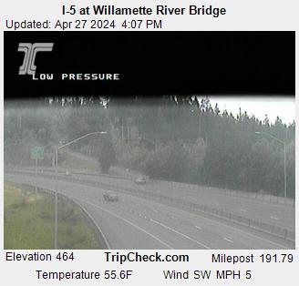
I-5 at Willamette River Bridge 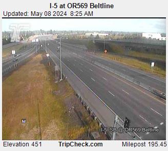
I-5 at OR569 Beltline 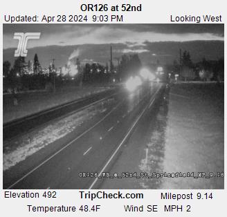
OR126 at 52nd 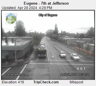
Eugene - 7th at Jefferson 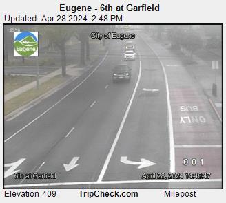
Eugene - 6th at Garfield 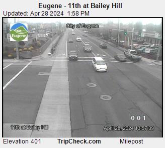
Eugene - 11th at Bailey Hill 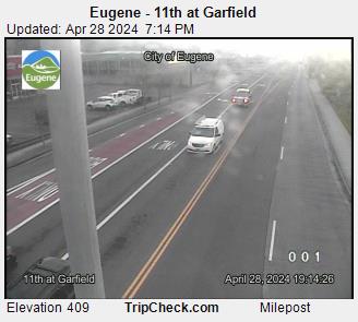
Eugene - 11th at Garfield 
Eugene - 7th at Chambers 
Eugene - 6th at Blair 
Eugene - 8th at Charnelton 
Eugene - 11th at Bertelsen 
Eugene - 11th at McKinley 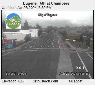
Eugene - 6th at Chambers 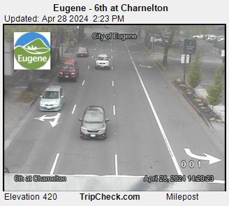
Eugene - 6th at Charnelton 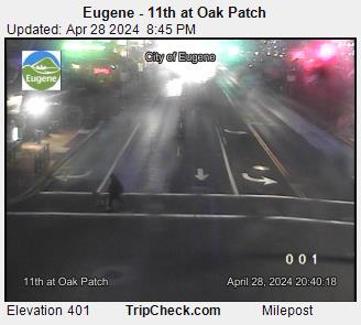
Eugene - 11th at Oak Patch 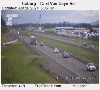
Coburg - I-5 at Van Duyn Rd 
OR225 at 30th Ave 
OR99W at HWY36 Junction City 
Eugene - Ferry St. Bridge Viaduct at 6th Ave 
Eugene - Ferry Street Bridge 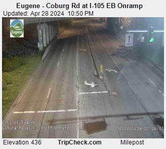
Eugene - Coburg Rd at I-105 EB Onramp 
Eugene - Coburg Rd at I-105 Flyover Ramp 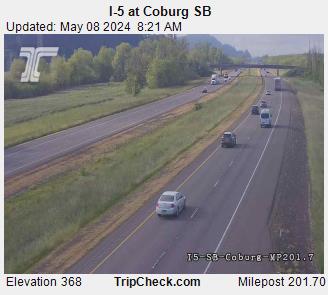
I-5 at Coburg SB 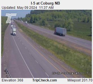
I-5 at Coburg NB 
OR126 at 52nd 
OR58 at MP0.86 
OR58 EB at MP0.86 
I-5 at Egge Rd 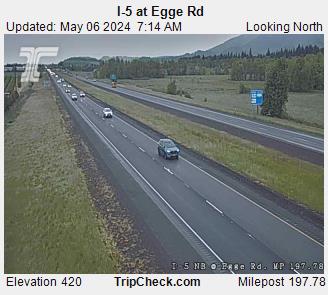
I-5 at Egge Rd 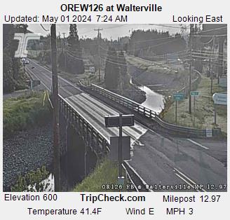
OR126 at Walterville 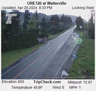
ORE126 at Walterville 
OR126 at Green Hill Rd 
I-105 at Country Club 
OR569 at OR126/W 11th 
OR569 at OR126/W 11th 
OR569 at Roosevelt Blvd 
OR569 at Roosevelt Blvd 
I-105 at Coburg Rd 
OR569 at OR99 
OR569 at Barger Dr 
I-5 at Willamette River Bridge
Salem / Surrounding Area
Current Temp: 50.5° F | Humidity: 86% | Wind: 3.4 MPH
Current Conditions: Overcast
Click for Traffic Incidents
-
Road construction is occurring. Prepare to slow. Watch for workers.
Created: 05/16/2024 05:20 US/Pacific
Updated: 02/12/2026 16:37 US/Pacific
Estimated delay under 20 minutes
Crews working daily, Sunday through Thursday with occasional night and weekend work. Up to two lanes closed nightly in either direction on I-5 from 8 p.m. to 8 a.m. Other roads in the project area to have single lane closures as needed from 9 p.m. to 6 a.m. Reduced speed to 55 mph in the work zone. <!--Links Start Here--> [Link to Additional Information](https://www.oregon.gov/odot/projects/pages/project-details.aspx?project=22505)
-
Road construction is occurring causing minimal delay to traffic. Use caution and watch for workers.
Created: 08/27/2024 08:08 US/Pacific
Updated: 02/12/2026 16:29 US/Pacific
No to Minimum Delay
Expect shoulder and lane closures, construction noise and delays. Crews are mostly working during the day with occasional nighttime closures as needed. <!--Links Start Here--> [Link to Additional Information](https://www.oregon.gov/odot/projects/pages/project-details.aspx?project=19929)
-
Road construction is or will be occurring. Use caution. Ramps Affected.
Created: 08/27/2024 09:43 US/Pacific
Updated: 02/12/2026 16:28 US/Pacific
Informational Only
Expect shoulder and lane closures, construction noise and delays. Crews are mostly working during the day with occasional nighttime closures as needed. Southbound I-5 traffic to be shifted onto the former northbound lanes. Northbound I-5 traffic to use Exit 249 and the former I-5 on-ramp as the new northbound lanes. <!--Links Start Here--> [Link to Additional Information](https://www.oregon.gov/odot/projects/pages/project-details.aspx?project=19929)
-
Road construction is or will be occurring. Use caution. Ramps Affected.
Created: 08/27/2024 09:50 US/Pacific
Updated: 02/12/2026 16:28 US/Pacific
Informational Only
Expect shoulder and lane closures, construction noise and delays. Crews are mostly working during the day with occasional nighttime closures as needed. Southbound I-5 traffic to be shifted onto the former northbound lanes. Northbound I-5 traffic to use Exit 249 and the former I-5 on-ramp as the new northbound lanes. <!--Links Start Here--> [Link to Additional Information](https://www.oregon.gov/odot/projects/pages/project-details.aspx?project=19929)
-
Road construction is or will be occurring. Use caution. Ramps Affected.
Created: 08/28/2024 09:52 US/Pacific
Updated: 02/12/2026 16:28 US/Pacific
Informational Only
Expect shoulder and lane closures, construction noise and delays. Crews are mostly working during the day with occasional nighttime closures as needed. Southbound I-5 traffic to be shifted onto the former northbound lanes. Northbound I-5 traffic to use Exit 249 and the former I-5 on-ramp as the new northbound lanes. <!--Links Start Here--> [Link to Additional Information](https://www.oregon.gov/odot/projects/pages/project-details.aspx?project=19929)
-
Road construction is occurring causing minimal delay to traffic. Use caution and watch for workers.
Created: 02/18/2026 05:34 US/Pacific
Updated: 02/18/2026 05:34 US/Pacific
No to Minimum Delay
Due to soundwall repairs, the contractor may be intermittantly taking the SB "C" lane to allow for enough room for equipment/materials/labor to reomplete the repair.
-
Road construction is occurring. Prepare to slow. Watch for workers.
Created: 10/15/2025 14:18 US/Pacific
Updated: 02/12/2026 16:25 US/Pacific
Estimated delay under 20 minutes
You can expect crews working during the day with lane and shoulder closures as needed. Please drive with caution and watch for workers. <!--Links Start Here--> [Link to Additional Information](https://www.oregon.gov/odot/projects/pages/project-details.aspx?project=22985-salem)
-
Road construction is occurring. Prepare to slow. Watch for workers.
Created: 02/05/2026 14:59 US/Pacific
Updated: 02/12/2026 16:20 US/Pacific
Estimated delay under 20 minutes
-
Construction @ Meridian Bridge Repair -- Impact: Low
Start Date: 04/24/2024 23:30 US/Pacific
End Date: 07/31/2026 20:00 US/Pacific
Bridge replacement and new approach guardrails to County Bridge #2504A.
Marion County Public Works
Jill Ogden
jogden@co.marion.or.us
Marion County Public Works
5033653152
-
Construction @ Connecticut Av Sidewalks -- Impact: None
Start Date: 03/03/2025 07:00 US/Pacific
End Date: 10/31/2026 17:00 US/Pacific
The project involves the completion of urban bicycle and ADA compliant pedestrian facilities along Connecticut Avenue SE between Macleay Road/Pennsylvania Avenue and Rickey Street/Macleay Road.
Marion County Public Works
Jill Ogden
jogden@co.marion.or.us
Marion County Public Works
5033653152
-
Construction @ Bridge Closure -- Impact: Closure
Start Date: 10/22/2025 07:30 US/Pacific
End Date: 03/31/2026 17:00 US/Pacific
Farline Bridge will close Meridian Road NE from Hobart Road on the south to Downs Road on the north to replace the bridge. The road will be closed beginning 8:00 am on Wednesday, October 22, 2025 and reopening at approximately 5:00 PM on Tuesday, March 31, 2026. Local, emergency and business traffic will have access from either end of the closure, but the bridge will be impassible during this period. All remaining traffic will be required to utilize the detour route (attached).
Marion County Public Works
Jill Ogden
jogden@co.marion.or.us
Marion County Public Works
5033653152
-
Detour @ Meridian Bridge -- Impact: Low
Start Date: 10/22/2025 07:30 US/Pacific
End Date: 03/31/2026 17:00 US/Pacific
Farline Bridge will close Meridian Road NE from Hobart Road on the south to Downs Road on the north to replace the bridge. The road will be closed beginning 8:00 am on Wednesday, October 22, 2025 and reopening at approximately 5:00 PM on Tuesday, March 31, 2026. Local, emergency and business traffic will have access from either end of the closure, but the bridge will be impassible during this period. All remaining traffic will be required to utilize the detour route.
Marion County Public Works
Jill Ogden
jogden@co.marion.or.us
Marion County Public Works
5033653152
-
Hazard @ Low Clearance RxR Underpass - 12 ft. 3 in. -- Impact: High
Start Date: 11/17/2025 15:27 US/Pacific
End Date: 06/30/2027 15:10 US/Pacific
Low clearance Railroad underpass in S-curve with no turnaround. Trucks taller than 12'3" will not pass under.
Marion County Public Works
Jill Ogden
jogden@co.marion.or.us
Marion County Public Works
5033653152
-
Hazard @ Low Clearance RxR Underpass - 12 ft. 9 in. -- Impact: High
Start Date: 11/17/2025 15:32 US/Pacific
End Date: 06/30/2027 15:10 US/Pacific
Low clearance Railroad underpass in S-curve with no turnaround. Trucks taller than 12'9" will not pass under.
Marion County Public Works
Jill Ogden
jogden@co.marion.or.us
Marion County Public Works
5033653152
-
Hazard @ Low Clearance RxR Underpass - 10 ft. 11 in. -- Impact: High
Start Date: 11/17/2025 15:38 US/Pacific
End Date: 06/30/2027 15:10 US/Pacific
Low clearance Railroad underpass in S-curve with no turnaround. Trucks taller than 10'11" will not pass under.
Marion County Public Works
Jill Ogden
jogden@co.marion.or.us
Marion County Public Works
5033653152
-
Hazard @ Low Clearance RxR Underpass - 9 ft. 4 in. -- Impact: High
Start Date: 11/17/2025 15:47 US/Pacific
End Date: 06/30/2027 15:10 US/Pacific
Low clearance Railroad underpass in S-curve with no turnaround. Trucks taller than 9' 4" will not pass under.
Marion County Public Works
Jill Ogden
jogden@co.marion.or.us
Marion County Public Works
5033653152
Click for Local Police/Fire Scanner Broadcasts
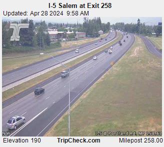
I-5 Salem at Exit 258 
I-5 at Perkins Road 
I-5 at Arndt Rd 
I-5 Salem at Kuebler Blvd 
I-5 at Mill Creek 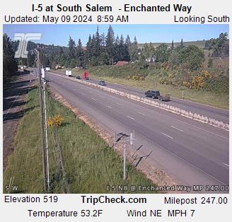
I-5 at South Salem - Enchanted Way 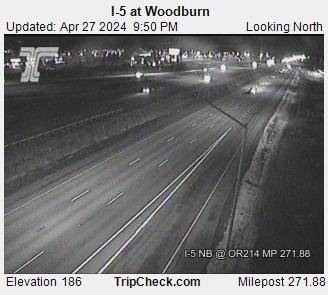
I-5 at Woodburn 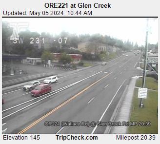
OR221 at Glen Creek 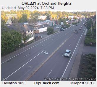
OR221 at Orchard Heights 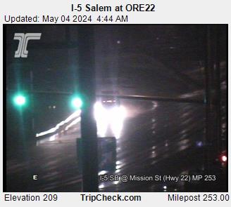
I-5 Salem at ORE22 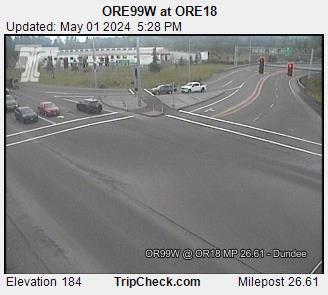
OR99W at OR18 
OR18 at Fulquartz Landing 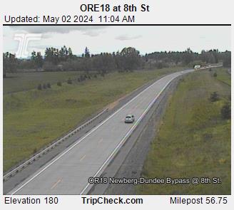
OR18 at 8th St 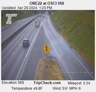
OR22 at OSCI Hill 
OR22 at OSCI Hill 
OR22 at Eola EB 
OR22 at Eola WB 
OR22 at Cordon Rd 
OR22 at Cordon Rd 
ORE214 at Silver Ridge 
ORE214 at Silver Creek 
OR99W at 5th St 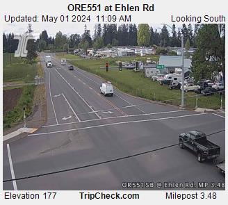
OR551 at Ehlen Rd 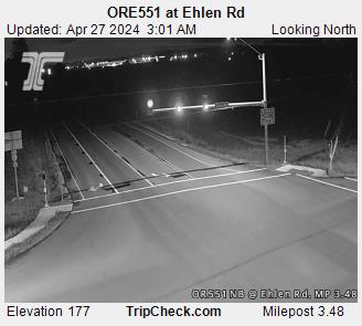
OR551 at Ehlen Rd 
Clackamas Co - Sequoia Pkwy at Hazel Dell Way 
I-5 at Delaney Rd 
I-5 at Silverton Rd 
I-5 at Silverton Rd 
I-5 at Perkins 
I-5 at Commercial St
Portland
Current Temp: 51.1° F | Humidity: 86% | Wind: 2.2 MPH
Current Conditions: Overcast
Click for Traffic Incidents
-
Traffic Impacts: No impacts.
Created: 01/22/2026 12:15 US/Pacific
Updated: 02/01/2026 06:40 US/Pacific
Informational Only
Project Description: We're improving safety at multiple I-84 interchange ramps between downtown Portland and Hood River by installing or upgrading lights, signs and trimming overgrown vegetation through fall 2026. When work begins in early 2026, expect intermittent lane closures with flaggers directing traffic at ramps and intersections. <!--Links Start Here--> [Link to Additional Information](https://www.oregon.gov/odot/Regions/Pages/ColumbiaGorgeProjects.aspx)
-
Traffic Impacts: No impacts.
Created: 01/22/2026 12:23 US/Pacific
Updated: 02/01/2026 06:40 US/Pacific
Informational Only
Project Description: We're improving safety at multiple I-84 interchange ramps between downtown Portland and Hood River by installing or upgrading lights, signs and trimming overgrown vegetation through fall 2026. When work begins in early 2026, expect intermittent lane closures with flaggers directing traffic at ramps and intersections. <!--Links Start Here--> [Link to Additional Information](https://www.oregon.gov/odot/Regions/Pages/ColumbiaGorgeProjects.aspx)
-
Nighttime single lane closures EB and WB starting at 8 p.m. on Tuesday, Jan. 13 and Wednesday, Jan. 14. A second lane closure will be taken at 10pm.
Created: 01/09/2026 09:29 US/Pacific
Updated: 01/11/2026 06:45 US/Pacific
No to Minimum Delay
Project Description: We are working on I-84 in both directions between I-205 and Marine Drive. Crews are repairing Asphaltic Plug Joints that run across the pavement at two locations. The work areas are located in proximity of the 148th and 122nd Avenue bridges in both the eastbound and westbound directions. The majority of joint work will be in the B and C lanes.
-
Traffic impacts: Shoulder closures and pedestrian detours on OR 43 at Marylhurst Dr.
Created: 01/28/2025 08:52 US/Pacific
Updated: 12/21/2025 09:03 US/Pacific
No to Minimum Delay
Project Description: This project will reduce conflicts and improve safety on OR 43 (Willamette Drive) for travelers at the Marylhurst Drive intersection.
-
Short-term overnight lane closures and shoulder closures on I-5.
Created: 03/05/2025 12:22 US/Pacific
Updated: 12/09/2025 08:41 US/Pacific
Estimated delay under 20 minutes
We are installing RealTime Variable Advisory Speed (VAS) signs along Interstate 5 south of downtown Portland from the Ross Island Bridge to Terwilliger Bouleva??rd to improve safety and traffic flow by providing drivers with real-time traffic information <!--Links Start Here--> [Link to Additional Information](https://www.oregon.gov/odot/projects/pages/project-details.aspx?project=21602)
-
Road construction is occurring as weather permits with single lane closure causing minimal delay to traffic. Use caution and watch for workers.
Created: 12/16/2025 14:25 US/Pacific
Updated: 12/16/2025 14:42 US/Pacific
No to Minimum Delay
<!--Links Start Here--> [Link to Additional Information](https://i5rosequarter.org/current-construction-travel-impacts/)
-
Traffic Impacts: Lane and ramp closures on I-205 in Oregon City and West Linn.
Created: 06/10/2022 12:07 US/Pacific
Updated: 02/22/2026 06:32 US/Pacific
Estimated delay under 20 minutes
Nighttime lane closures on I-205 northbound Monday through Thursday 10 p.m. to 5 a.m. and Friday from 10 p.m. to 7 a.m. Nighttime lane closures on I-205 southbound Friday from 10 p.m. to 7 a.m. Nighttime ramp closure from I-205 northbound to OR 99E Monday through Thursday from 10 p.m. to 5 a.m. and Friday from 10 p.m. to 7 a.m. Nighttime ramp closure from OR 43 to I-205 northbound Monday and Tuesday from 10 p.m. to 5 a.m. Nighttime ramp closure from I-205 southbound to OR 43 Friday from 10 p.m. to 7 a.m. Nighttime lane closures on OR 99E Monday through Thursday from 10 p.m. to 5 a.m. and Friday from 10 p.m. to 7 a.m. One lane will be open in each direction. Nighttime flagging on Clackamette Drive Monday through Friday from 7 p.m. to 5 a.m. Daytime flagging on Main Street Monday through Saturday from 7 a.m. to 5:30 p.m. Pedestrian detours on OR 43 and OR 99E. <!--Links Start Here--> [Link to Additional Information](https://www.i205corridor.org/updates)
-
Day and nighttime single lane closures on SE 82 Ave. (OR 213) between SE Foster Rd. and SE Lindy St.
Created: 09/27/2023 12:35 US/Pacific
Updated: 01/27/2026 16:06 US/Pacific
Informational Only
Project Description: We are repaving and making safety improvements on SE 82nd Avenue from SE Foster Road to SE Thompson Road. We will repave SE 82nd Avenue in both directions between SE Foster Road and SE Lindy Street. Pedestrian safety improvements from SE Foster to SE Thompson Road include four new Rectangular Rapid Flashing Beacons (RRFBs), upgrades to curb ramps that meet Americans with Disabilities Act (ADA) requirements and adding new sidewalks between SE Clatsop Street and SE Cornwell Street. <!--Links Start Here--> [Link to Additional Information](https://www.oregon.gov/odot/projects/pages/project-details.aspx?project=21177)
-
No impacts.
Created: 10/25/2024 14:29 US/Pacific
Updated: 02/09/2025 13:35 US/Pacific
No to Minimum Delay
Project Description: This project installs an overhead RRFB with a pedestrian refuge island median, ADA compliant curb ramps with push buttons, speed feedback signs and illumination. <!--Links Start Here--> [Link to Additional Information](https://www.oregon.gov/odot/projects/pages/project-details.aspx?project=23521)
-
Traffic Impacts: Lane closures, traffic shifts, shoulder closures and up to 20-minute traffic holds 8:00 a.m. to 5:00 p.m., weekdays.
Created: 09/07/2022 15:23 US/Pacific
Updated: 12/21/2025 09:02 US/Pacific
Informational Only
Temporary sidewalk closures with accessible pedestrian detours. Travelers can expect congestion during peak periods. Alternate routes are available. Possible nighttime work with closures. Flaggers may be directing traffic. No work anticipated Dec. 22-Jan. 1.
-
Traffic Impacts: Lane closures on OR 8 between 8:00 p.m. and 5:00 a.m.
Created: 12/17/2025 12:32 US/Pacific
Updated: 02/01/2026 06:47 US/Pacific
No to Minimum Delay
Project Description: This partnership project between ODOT, City of Beaverton and Metro will improve pedestrian safety on SW Canyon Road (OR 8) from SW Hall Boulevard to SW Cedar Hills Boulevard in Central Beaverton by adding two new crosswalks, a flashing beacon, new lighting and a landscaped center median. <!--Links Start Here--> [Link to Additional Information](https://www.oregon.gov/odot/projects/pages/project-details.aspx?project=18758)
-
Traffic Impacts: no impacts
Created: 11/26/2024 10:18 US/Pacific
Updated: 06/08/2025 06:59 US/Pacific
No to Minimum Delay
Project Description: In partnership with the City of Tigard and Washington County, we are working on a project to enhance safety on Hall Boulevard (Oregon Hwy 141). This project will install two new enhanced pedestrian crossings, or Rectangular Rapid Flashing Beacons, across SW Hall Boulevard at the intersections of SW Hemlock and SW Spruce streets. <!--Links Start Here--> [Link to Additional Information](https://www.oregon.gov/odot/projects/pages/project-details.aspx?project=24010)
-
Traffic Impacts: No impacts.
Created: 05/28/2025 12:52 US/Pacific
Updated: 10/19/2025 06:14 US/Pacific
Estimated delay under 20 minutes
Project Description: In partnership with the City of Tigard and Washington County, we are working on a project to enhance safety on Hall Boulevard (Oregon Hwy 141). This project will install two new enhanced pedestrian crossings, or Rectangular Rapid Flashing Beacons, across SW Hall Boulevard at the intersections of SW Hemlock and SW Spruce streets. <!--Links Start Here--> [Link to Additional Information](https://www.oregon.gov/odot/projects/pages/project-details.aspx?project=22647)
-
Traffic Impacts: Daytime lane shifts and sidewalk closures with accessible pedestrian detours on Hall Blvd. and 72nd Ave. Traffic holds of up to 20 mi
Created: 04/02/2025 14:14 US/Pacific
Updated: 11/09/2025 17:54 US/Pacific
No to Minimum Delay
<!--Links Start Here--> [Link to Additional Information](https://www.oregon.gov/odot/projects/pages/project-details.aspx?project=22431)
-
Traffic Impacts: Nighttime lane closures on OR 217 southbound Monday through Thursday nights.
Created: 12/23/2021 09:11 US/Pacific
Updated: 02/22/2026 06:36 US/Pacific
No to Minimum Delay
Project Description: This project addresses long-standing congestion on OR 217 between Beaverton-Hillsdale Highway and OR 99W due to too many closely spaced interchanges: 10 interchanges in just over seven miles! This is some of the shortest merging spacing in the region. <!--Links Start Here--> [Link to Additional Information](https://www.oregon.gov/odot/OR217/Pages/default.aspx)
-
Road construction is occurring causing minimal delay to traffic. Use caution and watch for workers.
Created: 04/17/2025 15:06 US/Pacific
Updated: 04/17/2025 15:08 US/Pacific
No to Minimum Delay
-
Construction @ Childs Road Closed to all traffic from Stafford Rd to 500 feet west of the intersection -- Impact: Closure
Start Date: 07/15/2025 06:00 US/Pacific
End Date: 10/01/2026 07:00 US/Pacific
Childs Road is closed to all traffic 500 feet west of the intersection with Stafford Road through the intersection of Stafford Road.
Clackamas County
Mike Ward
mward@clackamas.us
Clackamas County
5037424688
-
Construction @ NE 60th Ave between NE Glisan and NE Halsey ST -- Impact: Closure
Start Date: 08/29/2025 10:18 US/Pacific
End Date: 09/30/2027 06:00 US/Pacific
Northbound 60th Ave closure for sidewalk construction.
City of Portland
Halsey Construction
halseyconstruction@portlandoregon.gov
City of Portland
9713139293
-
Detour @ Detour - SE Johnson Road between SE Thiessen Rd and SE Clackamas Rd, 7a.m. to 5 p.m. Mon-Fri, Feb. 6 to Mar. 13, 2026 for sewer construction. -- Impact: Low
Start Date: 02/06/2026 07:00 US/Pacific
End Date: 03/13/2026 17:00 US/Pacific
SE Johnson Road is closed between SE Thiessen Rd and SE Clackamas Rd, 7a.m. to 5 p.m. Mon-Fri, Feb. 6 to Mar. 13, 2026 for sewer construction.
Clackamas County
Jason Gomez
jgomez@clackamas.us
Clackamas County
9719306297
-
Detour @ SE Johnson Road is closed between SE Thiessen Rd and SE Clackamas Rd, 7a.m. to 5 p.m. Mon-Fri, Feb. 6 to Mar. 13, 2026 for sewer construction. -- Impact: Low
Start Date: 01/01/2026 07:00 US/Pacific
End Date: 03/13/2026 17:00 US/Pacific
Clackamas County
Jason Gomez
jgomez@clackamas.us
Clackamas County
9719306297
-
Construction @ SE Johnson Rd. is closed between SE Thiessen Rd and the SE Clackamas Rd. It is a daytime-only road closure from February to Feb. 27, 2026, daily from 7 a.m. - 5 p.m., for the relocation of the water line. -- Impact: Closure
Start Date: 02/04/2026 07:00 US/Pacific
End Date: 03/13/2026 17:00 US/Pacific
Clackamas County
Cameron Ruen
JGOMEZ@clackamas.us
Clackamas County
9719306297
-
Construction @ • SE Courtney Ave. is closed between SE River Rd and the SE Arista Dr. It is a daytime-only road closure from Feb.16 to March 13, 2026, daily from 7 a.m. - 7 p.m., for sewer repair. -- Impact: Closure
Start Date: 02/16/2026 07:00 US/Pacific
End Date: 03/13/2026 19:00 US/Pacific
Clackamas County
Jason Gomez
jgomez@clackamas.us
Clackamas County
9719306297
-
Construction @ SE Arista Dr is closed between SE Maple St & SE Pineland St. It is a daytime-only road closure from Feb.16 to March 23, 2026, daily from 7 a.m. - 7 p.m., for sewer repair. -- Impact: Closure
Start Date: 02/16/2026 07:00 US/Pacific
End Date: 04/23/2026 19:00 US/Pacific
Clackamas County
Jason Gomez
jgomez@clackamas.us
Clackamas County
9719306297
-
Construction @ SE Courtney Ave is closed between SE Lee Ave & SE Linden Ln. It is a daytime-only road closure from Feb. 23 to March 20, 2026, daily from 7 a.m. to 7 p.m., for sewer repair. -- Impact: Closure
Start Date: 02/23/2026 07:00 US/Pacific
End Date: 03/20/2026 19:00 US/Pacific
Clackamas County
Jason Gomez
jgomez@clackamas.us
Clackamas County
9719306297
-
Construction @ SE Rupert Dr is closed between SE Courtney Ave & Pineland St. It is a daytime-only road closure from Feb.23 to March 20, 2026, daily from 7 a.m. - 7 p.m., for sewer repair. -- Impact: Closure
Start Date: 02/23/2026 07:00 US/Pacific
End Date: 03/20/2026 19:00 US/Pacific
Clackamas County
Jason Gomez
Jgomez@clackamas.us
Clackamas County
9719306297
-
Construction @ SE Linden Ave is closed between SE Courtney Ave & SE Chestnut St. It is a daytime-only road closure from Feb.27 to April 12, 2026, daily from 7 a.m. - 7 p.m., for sewer repairs. -- Impact: Closure
Start Date: 02/27/2026 07:00 US/Pacific
End Date: 04/12/2026 19:00 US/Pacific
Clackamas County
Jason Gomez
Jgomez@clackamas.us
Clackamas County
9719306297
-
Construction @ SE Oatfield Road is closed between SE Aldercrest Road and SE Courtney Road, it is a daytime road closure from Nov. 3 at 7 a.m. until March 13, 2026, at 5 p.m., for water main, service replacement, and road improvements. -- Impact: Closure
Start Date: 11/03/2025 07:00 US/Pacific
End Date: 03/13/2026 17:00 US/Pacific
Clackamas County
Cameron Ruen
jgomez@clackamas.us
Clackamas County
9719306297
Click for Local Police/Fire Scanner Broadcasts
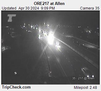
OR217 at Allen 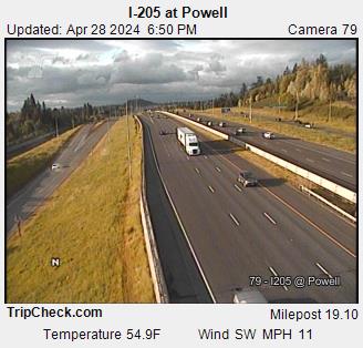
I-205 at Powell 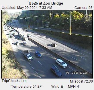
US26 at Zoo Bridge 
OR217 at Denney 
OR217 at Greenburg 
OR217 at Hall 
OR217 at Scholls Ferry Road 
OR217 at Tualatin Valley Hwy 
OR217 at Walker 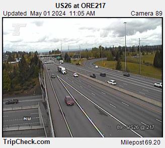
US26 at OR217 
US26 at Bethany 
US26 at Jefferson Off-Ramp 
US26 at Murray 
US26 at East Vista Ridge Tunnel 
OR99W at Bertha 
I-205 at 92nd 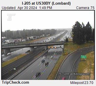
I-205 at US30BY (Lombard) 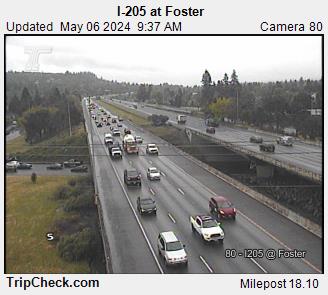
I-205 at Foster 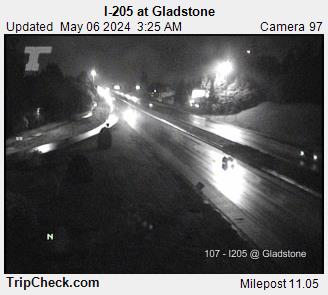
I-205 at Gladstone 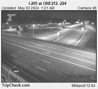
I-205 at OR212 -224 
I-205 at Johnson Creek 
I-205 at Lawnfield Rd. 
I-205 at Park Place - OR213 
I-205 at Prescott St. 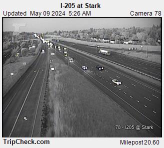
I-205 at Stark 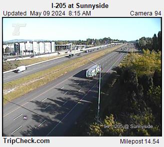
I-205 at Sunnyside 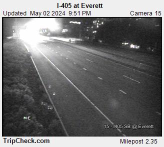
I-405 at Everett 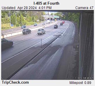
I-405 at Fourth 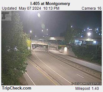
I-405 at Montgomery 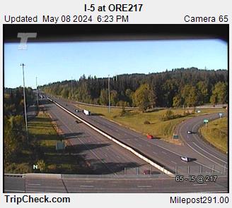
I-5 at OR217 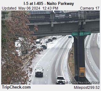
I-5 at I-405 - Naito Parkway 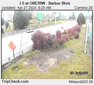
I-5 at ORE99W - Barbur Blvd. 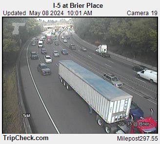
I-5 at Brier Place 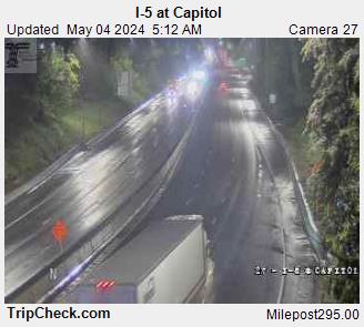
I-5 at Capitol 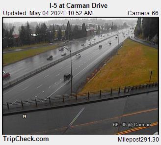
I-5 at Carman Drive 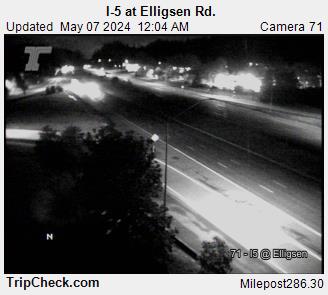
I-5 at Elligsen Rd. 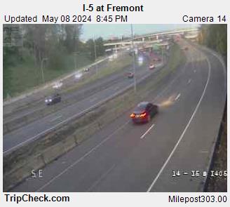
I-5 at Fremont 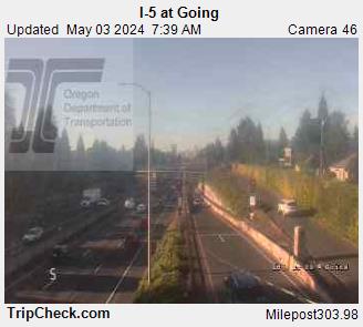
I-5 at Going 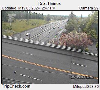
I-5 at Haines 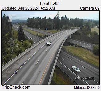
I-5 at I-205 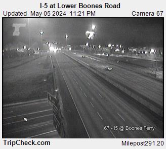
I-5 at Lower Boones Road 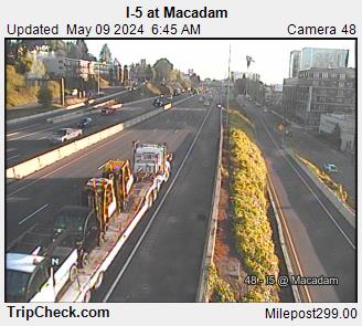
I-5 at Macadam 
I-5 at Miles 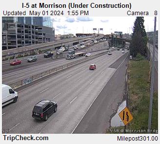
I-5 at Morrison Bridge 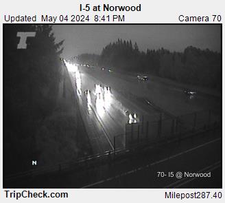
I-5 at Norwood 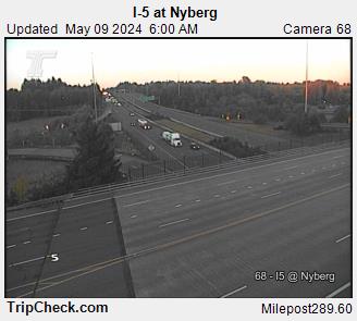
I-5 at Nyberg 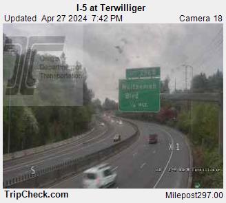
I-5 at Terwilliger 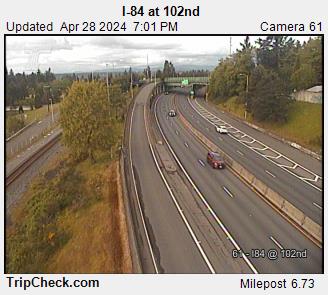
I-84 at 102nd 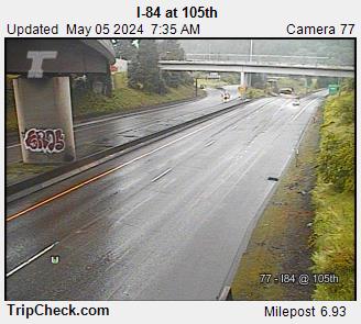
I-84 at 105th 
I-84 at 28th 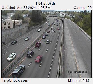
I-84 at 37th 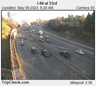
I-84 at 53rd 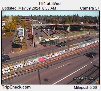
I-84 at 82nd 
I-84 at I-205 
I-84 at Halsey (Lower) 
I-84 at Lloyd Blvd 
I-84 at Metro Bldg. 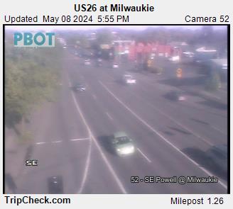
US26 at Milwaukie 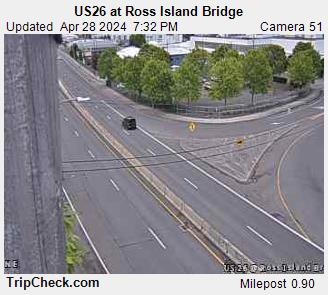
US26 at Ross Island Bridge 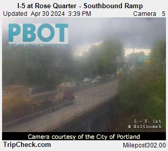
I-5 at Rose Quarter - Southbound Ramp 
I-5 at Rose Quarter - Interstate Avenue 
I-5 at Rose Quarter - Weidler 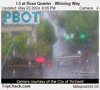
I-5 at Rose Quarter - Winning Way 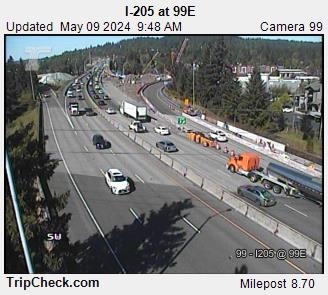
I-205 at 99E 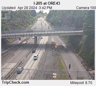
I-205 at ORE43 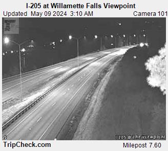
I-205 at Willamette Falls Viewpoint 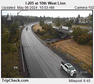
I-205 at 10th West Linn 
I-205 at Blankenship Road 
I-205 at Stafford Road 
US26 at Sylvan Interchange - Skyline 
US26 at Cedar Hills 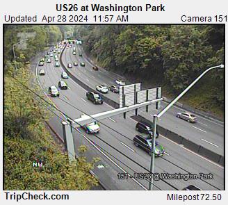
US26 at Washington Park 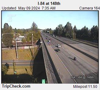
I-84 at 148th 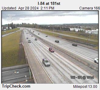
I-84 at 181st 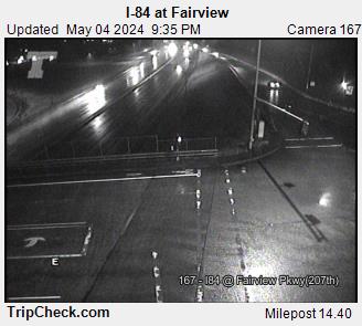
I-84 at Fairview 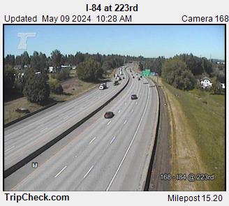
I-84 at 223rd 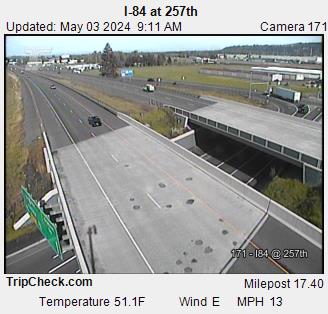
I-84 at 257th 
OR99W at Durham Rd 
OR99W at McDonald 
82nd Ave at Division St 
82nd Ave at Duke St 
82nd Ave at Foster Rd 
82nd Ave at Glisan St 
82nd Ave at Killingsworth 
82nd Ave at Powell Blvd 
82nd Ave at Powell Blvd 
82nd Ave at Sandy Blvd 
82nd Ave at Springwater 
82nd Ave at Washington St 
82nd Ave at Woodward St 
Washington County - Scholls Ferry at OR217 
Washington County - Nyberg St at Fred Meyer Access 
Washington County - Nyberg St at I-5 
Washington County - Scholls Ferry Rd at 125th Ave 
Washington County - Scholls Ferry Rd at Hall Blvd 
Washington County - Tualatin Sherwood Rd at 124th Ave 
Washington County - Tualatin Sherwood Rd at 89th 
Washington County - Tualatin Sherwood Rd at 95th 
Washington County - Tualatin Sherwood Rd at Baler Way 
Washington County - Tualatin Sherwood Rd at Boones Ferry Rd 
Washington County - Tualatin Sherwood Rd at Martinazzi Ave 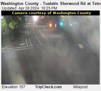
Washington County - Tualatin Sherwood Rd at Teton Ave 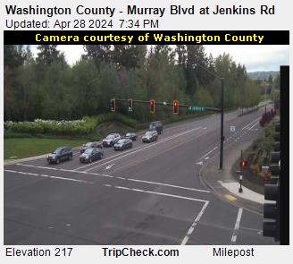
Washington County - Murray Blvd at Jenkins Rd 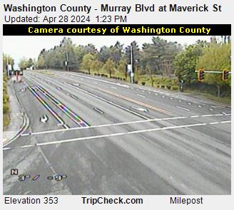
Washington County - Murray Blvd at Maverick St 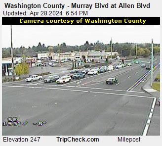
Washington County - Murray Blvd at Allen Blvd 
Washington County - Scholls Ferry Rd at Murray Blvd 
Clackamas Co - 101st at Sunnyside 
Clackamas Co - 122nd at Sunnyside 
Clackamas Co - 142nd at Sunnyside 
Clackamas Co - 152nd at Sunnyside 
Clackamas Co - 162nd at Sunnyside 
Clackamas Co - 82nd at Sunnyside 
Clackamas Co - 92nd at JCB 
Clackamas Co - 93rd at Sunnyside 
Clackamas Co - Hunter Bluff at JCB 
Clackamas Co - Jennifer at Evelyn 
Clackamas Co - Valley View at Sunnyside 
OR99W at Tualatin Sherwood 
Clackamas Co - Bell Rd at Johnson Creek Blvd 
Portland - 11th at Milwaukie N 
Portland - 11th at Milwaukie S 
Portland - 12th at Clinton 
Portland - 12th at Division 
Portland - 4th at Lincoln 
Portland - 8th at Division 
Portland - 8th at Division Place 
Portland - Foster at Holgate 
82nd Ave at NE Tillamook 
OR99W at Brier 
OR99W at Capitol 
Portland - OR99W at Hamilton N 
Portland - OR99W at Hamilton S 
Portland - Moody Ave. at Porter St. 
Portland - SW Naito Pkwy at Market 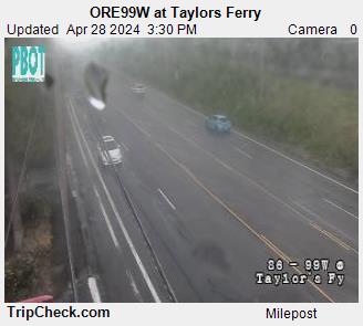
OR99W at Taylors Ferry 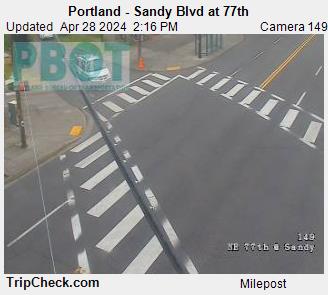
Portland - Sandy Blvd at 77th 
US26 at 21st 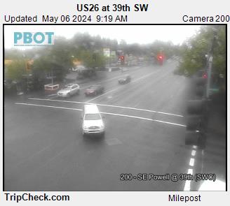
US26 at 39th SW 
US26 at SE 26th 
US26 at SE 33rd 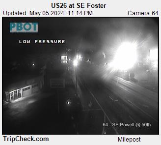
US26 at SE Foster 
US26 at SE 39th 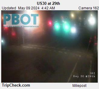
US30 at 29th 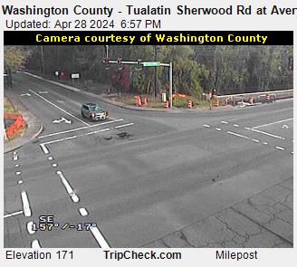
Washington County - Tualatin Sherwood Rd at Avery St 
Washington County - Tualatin Sherwood Rd at Oregon St 
Washington County - Tualatin Sherwood Rd at OR99W 
Washington County - Roy Rogers Rd at Borchers Dr 
Washington County - Dartmouth St at 72nd Ave 
Washington County - Dartmouth St at Costco 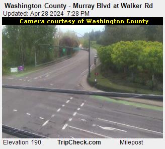
Washington County - Murray Blvd at Walker Rd 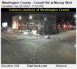
Washington County - Cornell Rd at Murray Blvd 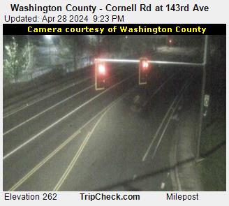
Washington County - Cornell Rd at 143rd Ave 
Clackamas Co - 21st at Adams 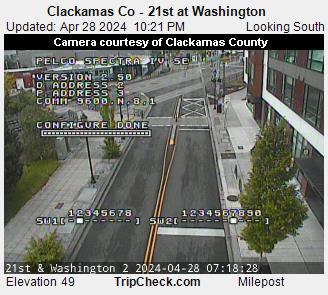
Clackamas Co - 21st at Washington 
Clackamas Co - 21st at Washington 
Clackamas Co - Park at 27th Ave 
Washington Co - Cornell Rd at Saltzman Rd 
US26 at Camelot Court Overpass 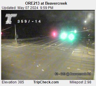
OR213 at Beavercreek 
Portland - SW Sam Jackson at Terwilliger 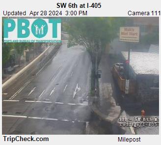
Portland - SW 6th at I-405 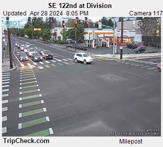
Portland - SE 122nd at Division SWC 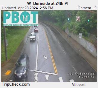
Portland - W Burnside at 24th Pl 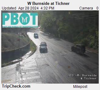
Portland - W Burnside at Tichner 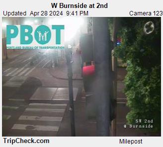
Portland - W Burnside at 2nd 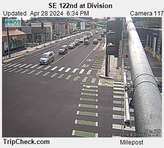
Portland - SE 122nd at Division NEC 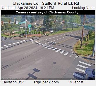
Clackamas Co - Stafford Rd at Ek Rd 
Clackamas Co - Stafford Rd at Ek Rd 
OR224 at Johnson Rd 
OR224 a Harrison St 
OR224 at ORE212 
OR224 at 135th Ave 
I-5 at Terwilliger 
OR224 at Harmony Rd 
Washington County - Murray Blvd at Hart Rd 
Washington County - Murray Blvd at Beard St 
Washington County - Upper Boones Ferry Rd at Carman Dr 
Washington County - Durham Rd at Upper Boones Ferry Rd 
Washington County - Durham Rd at Summerfield Dr 
Washington County - Durham Rd at Hall Blvd 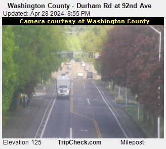
Washington County - Durham Rd at 92nd Ave 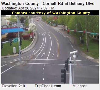
Washington County - Cornell Rd at Bethany Blvd 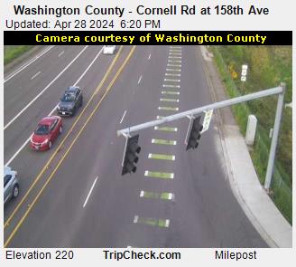
Washington County - Cornell Rd at 158th Ave 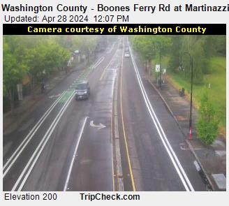
Washington County - Boones Ferry Rd at Martinazzi Ave 
Washington County - 65th Ave at Sagert St 
Washington County - 158th Ave at Walker Rd 
Clackamas Co - 119th at Sunnyside 
Clackamas Co - 122nd at Summers Lane 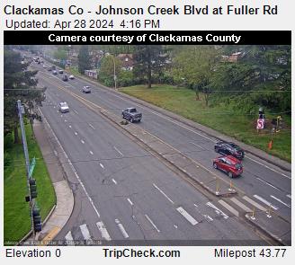
Clackamas Co - Johnson Creek Blvd at Fuller Rd 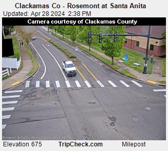
Clackamas Co - Rosemont at Santa Anita 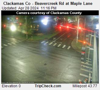
Clackamas Co - Beavercreek Rd at Maple Lane 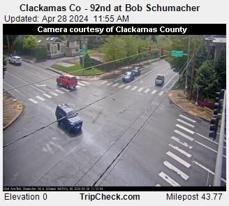
Clackamas Co - 92nd at Bob Schumacher 
Washington County - Bethany Blvd at West Union Rd 
Washington County - Barnes Rd at Baltic Ave 
Washington County - Scholls Ferry Rd at Nimbus 
Washington County - Scholls Ferry Rd at 121st Ave 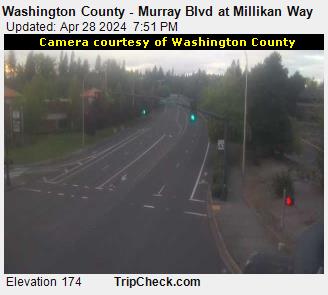
Washington County - Murray Blvd at Millikan Way 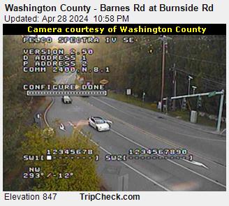
Washington County - Barnes Rd at Burnside Rd 
Clackamas Co - Lake at Webster 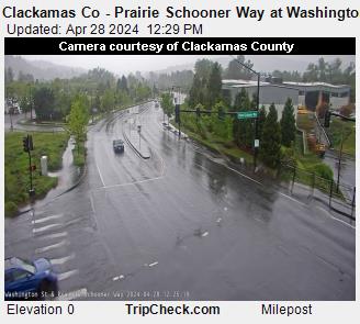
Clackamas Co - Prairie Schooner Way at Washington St 
Clackamas Co - Molalla at Beavercreek Rd 
Clackamas Co - 12th at Washington St 
Clackamas Co - 14th at Washington St 
Clackamas Co - Abernethy 17th at Washington St 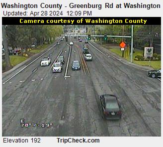
Washington County - Greenburg Rd at Washington Square Rd 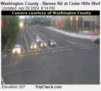
Washington County - Barnes Rd at Cedar Hills Blvd 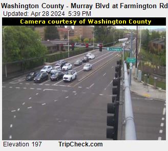
Washington County - Murray Blvd at Farmington Rd 
Washington County - Tualatin Valley Hwy at Murray Blvd 
Washington County - Scholls Ferry Rd at Blackbird Dr 
Washington County - Scholls Ferry Rd at Teal Blvd 
Washington County - Nyberg St at 65th Ave 
Washington County - Tualatin Rd at Boones Ferry Rd 
I-205 at Glisan SB 
I-205 at Division SB 
Clackamas Co - Harmony Rd at Aquatic Center Driveway 
Clackamas Co - 105th at Sunnyside 
Clackamas Co - Sunnybrook Blvd at Sunnyside Rd 
Clackamas Co - King Rd at Linwood Ave 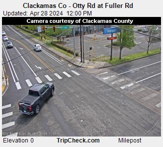
Clackamas Co - Otty Rd at Fuller Rd 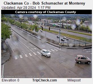
Clackamas Co - Bob Schumacher at Monterey 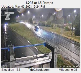
I-205 at I-5 Ramps 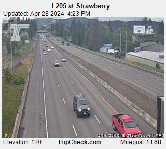
I-205 at Strawberry 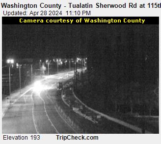
Washington County - Tualatin Sherwood Rd at 115th Ave 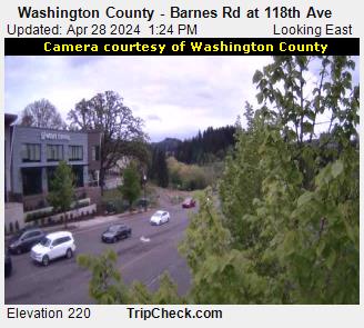
Washington County - Barnes Rd at 118th Ave 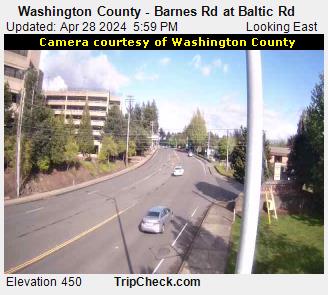
Washington County - Barnes Rd at Baltic Rd 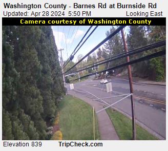
Washington County - Barnes Rd at Burnside Rd 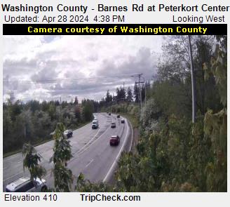
Washington County - Barnes Rd at Peterkort Center 
Washington County - Cornell Rd at 87th Ave 
Washington County - Cornell Rd at Cedar Hills Blvd 
Washington County - Bull Mountain Rd at Peachtree Dr 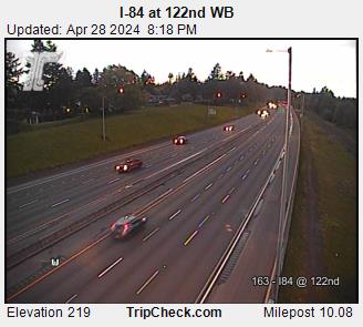
I-84 at 122nd WB 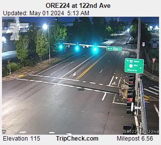
OR224 at 122nd Ave 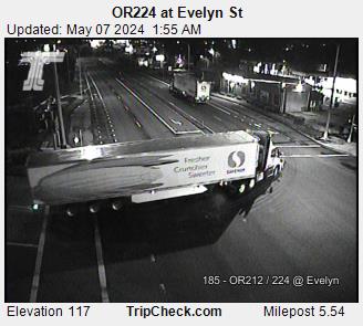
OR224 at Evelyn St 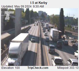
I-5 at Kerby 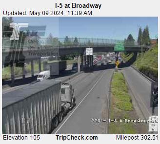
I-5 at Broadway 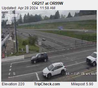
OR217 at OR99W 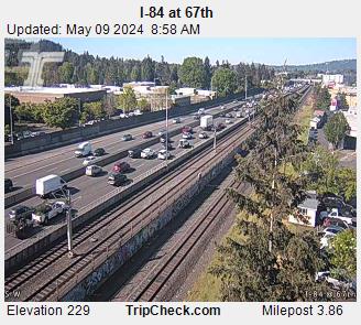
I-84 at 67th _pid4744.jpg)
I-5 at Marquam Bridge (Upper Deck East) 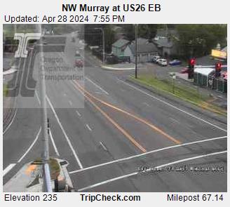
NW Murray at US26 EB 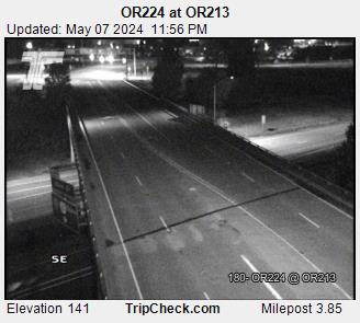
OR224 at OR213 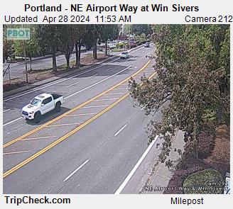
Portland - NE Airport Way at Win Sivers 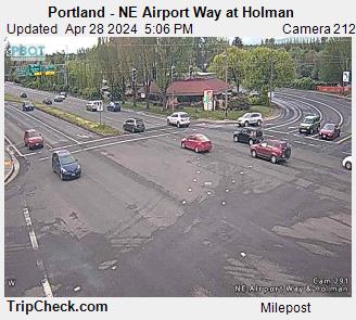
Portland - NE Airport Way at Holman 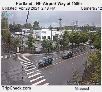
Portland - NE Airport Way at 158th 
Portland - NE Airport Way at 148th 
Portland - NE Airport Way at 138th 
Portland - NE Airport Way at 122nd SWC 
Portland - NE Airport Way at 122nd NWC 
I-84 at Marine Dr 
I-84 at 238th Dr 
I-84 at 162nd 
US26 at 267th 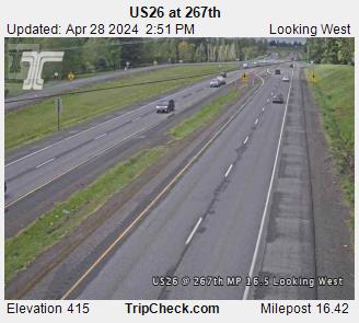
US26 at 267th 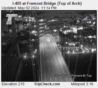
I-405 at Fremont Bridge (Top of Arch) 
I-405 at SW Alder 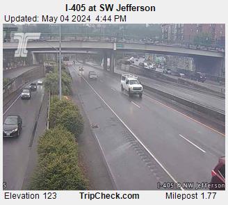
I-405 at SW Jefferson 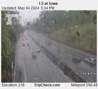
I-5 at Iowa _pid4803.jpg)
I-5 at Marquam Bridge (Upper Deck West) _pid4805.jpg)
I-5 at Marquam Bridge (Lower Deck Mid Span) 
Portland - Division at 20th 
Portland - Division at 26th 
Portland - Division at 34th 
Portland - Division at 60th 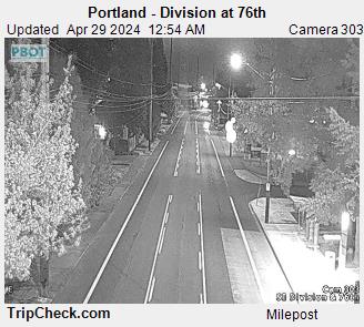
Portland - Division at 76th 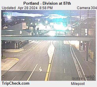
Portland - Division at 87th 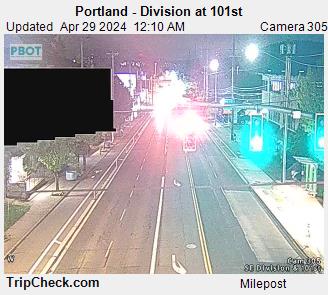
Portland - Division at 101st 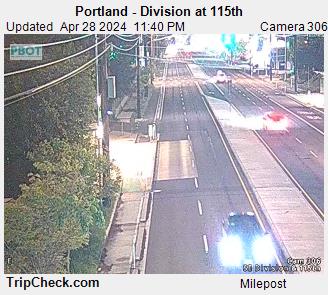
Portland - Division at 115th 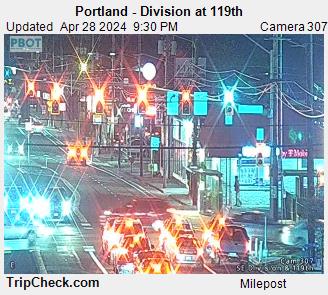
Portland - Division at 119th 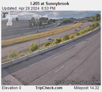
I-205 at Sunnybrook 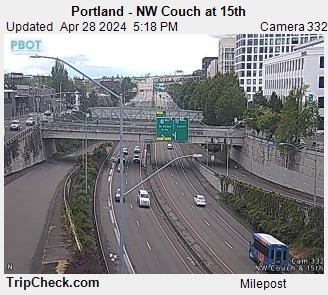
Portland - NW Couch at 15th 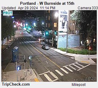
Portland - W Burnside at 15th 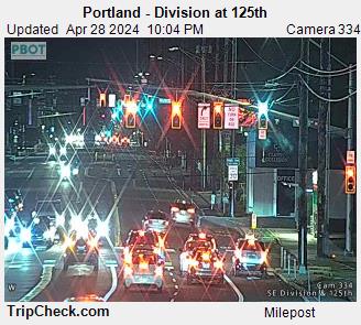
Portland - Division at 125th 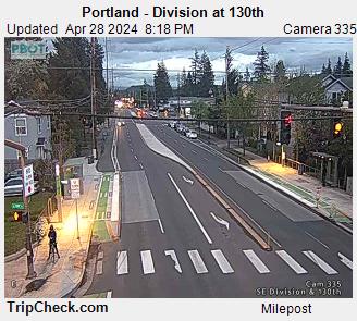
Portland - Division at 130th 
Portland - Division at 148th 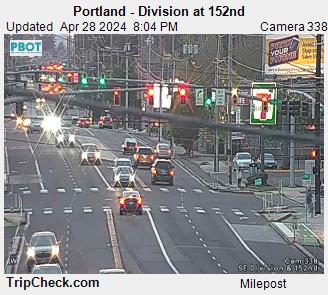
Portland - Division at 152nd 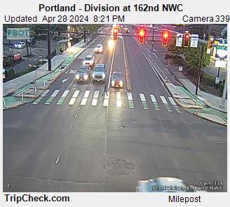
Portland - Division at 162nd NWC 
Portland - Division at 162nd SWC 
Portland - Division at 174th 
Portland - Division at 12th 
Portland - Division at 80th 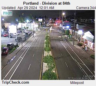
Portland - Division at 84th 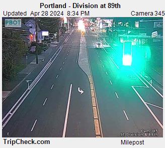
Portland - Division at 89th 
Portland - Division at 92nd 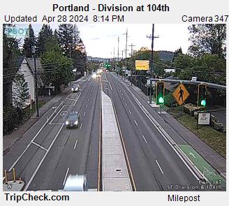
Portland - Division at 104th 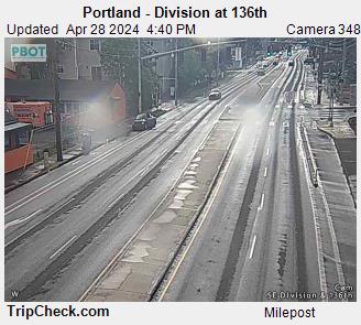
Portland - Division at 136th 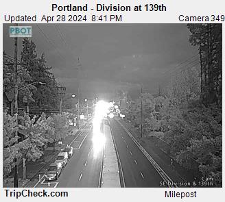
Portland - Division at 139th 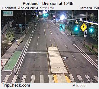
Portland - Division at 154th 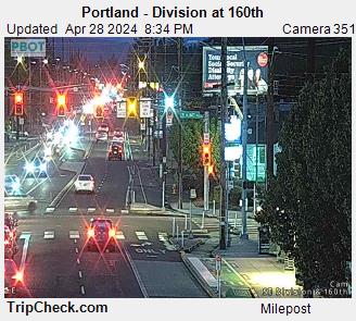
Portland - Division at 160th 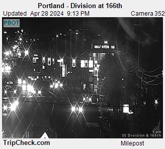
Portland - Division at 166th 
Portland - NE Lloyd at 7th _pid4910.jpg)
US26 WB at Vista Ridge Tunnel (East End) _pid4912.jpg)
US26 WB at Vista Ridge Tunnel (West End) 
US26 EB at Vista Ridge Tunnel (West End) _pid4916.jpg)
US26 EB at Vista Ridge Tunnel (East End) 
Portland - SE Grand Ave at SE Madison St 
Portland - SE Hawthorne at SE 7th St 
Portland - SW Capitol Hwy at Sunset Blvd 
Clackamas Co - Harmony Rd at Fuller Rd 
Clackamas Co - Sunnyside Rd at 8600 Block 
Clackamas Co - Sunnyside Rd at 9000 Block 
Clackamas Co - Sunnyside Rd at Stevens Rd 
Clackamas Co - Sunnyside Rd at 117th Ave 
Clackamas Co - Sunnyside Rd at 132nd Ave 
Clackamas Co - Sunnyside Rd at 147th Ave 
Clackamas Co - Sunnyside Rd at 157th Ave 
Clackamas Co - Sunnyside Rd at 169th Ave 
Clackamas Co - Sunnyside Rd at 172nd Ave 
Clackamas Co - 172nd Ave at Rock Creek Blvd 
Clackamas Co - 172nd Ave at Misty Dr and Vogel Rd 
Clackamas Co - Sunnybrook Blvd at 84th Ave 
Clackamas Co - Sunnybrook Blvd at 8600 Block 
Clackamas Co - Sunnybrook Blvd at Oak Bluff Blvd 
Clackamas Co - Sunnybrook Blvd at 93rd Ave 
Clackamas Co - Sunnybrook Blvd at 97th Ave 
Clackamas Co - Johnson Creek Blvd at Linwood Ave and Flavel Dr 
Clackamas Co - King Rd at Bell Ave 
Clackamas Co - Bob Schumacher Rd at Causey Ave 
Clackamas Co - Stevens Rd at Bob Schumacher Rd 
Clackamas Co - Stevens Rd at Gramor 
Clackamas Co - Monterey Ave at 85th Ave 
Clackamas Co - Oatfield Rd at Park Ave 
Clackamas Co - Oatfield Rd at Oak Grove Blvd 
Clackamas Co - Oatfield Rd at Concord Rd 
Clackamas Co - Oatfield Rd at Thiessen Rd 
Clackamas Co - Oatfield Rd at Roethe Rd 
Clackamas Co - Oatfield Rd at Jennings Ave 
Clackamas Co - Johnson Rd at Deer Creek Ln 
Clackamas Co - 82nd Dr at Tolbert St 
Clackamas Co - Webster Rd at Thiessen Rd 
Clackamas Co - Webster Rd at Clackamas Rd 
Clackamas Co - 82nd Dr at Fred Meyer North 
Clackamas Co - 82nd Dr at Fred Meyer South 
Clackamas Co - Redland Rd at Abernethy Rd and Holcomb Blvd 
Clackamas Co - Stafford Rd at 65th Ave 
Clackamas Co - Molalla Ave at Warner Milne Rd 
Clackamas Co - Molalla Ave at Safeway and McDonalds 
Clackamas Co - Molalla Ave at Clairmont Way 
Clackamas Co - Molalla Ave at Fir St 
Clackamas Co - Warner Milne and Warner Parrott at Linn and Leland 
Clackamas Co - Beavercreek Rd at Warner Milne Rd 
Clackamas Co - Beavercreek Rd at Theater and Hilltop Mall 
Clackamas Co - Beavercreek Rd at Fred Meyer 
Clackamas Co - Beavercreek Rd at Fir St 
Clackamas Co - Elligsen Rd at Parkway Ave and Argyle Ave 
Clackamas Co - 95th Ave at Commerce Cir 
Clackamas Co - Stafford and Wilsonville at Advance and Boeckman 
Clackamas Co - Boones Ferry Rd at Bryant Rd and Firwood Rd 
Clackamas Co - Boones Ferry Rd at Oakridge Rd and Reese Rd 
Clackamas Co - Boones Ferry Rd at Kruse Way 
Clackamas Co - Boones Ferry Rd at Madrona St 
Portland - SE Division at 170th 
Portland - N Greeley at Adidas Dr N 
Portland - SE 82nd at Schiller 
Portland - SE 82nd at Clinton 
Portland - SE Holgate at 122nd 
Portland - SE 82nd and Knapp 
Portland - SE Ankeny at 11th Ave 
Portland - NE Columbia at 80th 
Washington County - 65th Ave at Borland Rd 
Washington County - 72nd Ave at Trimet 
Washington County - 72nd Ave at Durham Rd 
OR8 at Murray Blvd